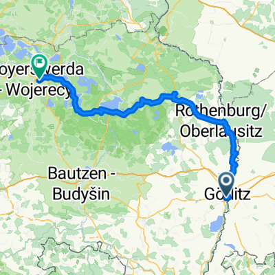
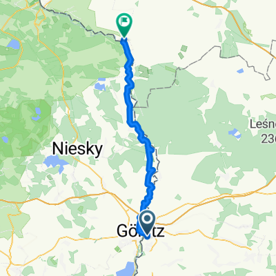
4X57+MX, Görlitz nach 4X57+MX, Görlitz
- 16.7 km
- 406 m
- 393 m
- Zgorzelec, Lower Silesian Voivodeship, Poland
A cycling route starting in Zgorzelec, Lower Silesian Voivodeship, Poland.
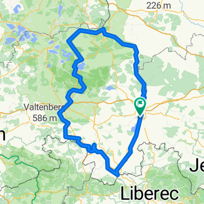
Overview
Based on the description from the blog
Route quality
Path
10.8 km
(13 %)
Road
9.1 km
(11 %)
Paved
56.5 km
(68 %)
Unpaved
3.3 km
(4 %)
Asphalt
53.2 km
(64 %)
Paved (undefined)
2.5 km
(3 %)
Route highlights
Continue with Bikemap
You would like to ride Wzdłuż granicy z Niemcami or customize it for your own trip? Here is what you can do with this Bikemap route:
Free trial for 3 days, or one-time payment. More about Bikemap Premium.
Discover more Premium features.
Get Bikemap PremiumFrom our community
Open it in the app