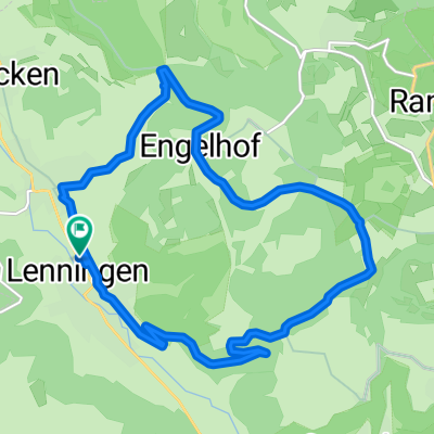
E'weiler-Donnstetten-ret
A cycling route starting in Erkenbrechtsweiler, Baden-Wurttemberg, Germany.
Overview
About this route
Road cycling tour with a ten-year-old
- -:--
- Duration
- 57.5 km
- Distance
- 573 m
- Ascent
- 573 m
- Descent
- ---
- Avg. speed
- ---
- Max. altitude
Continue with Bikemap
Use, edit, or download this cycling route
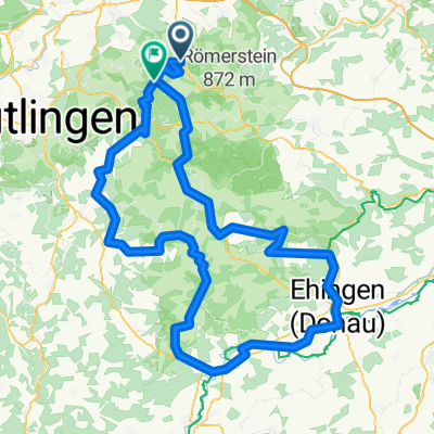
You would like to ride E'weiler-Donnstetten-ret or customize it for your own trip? Here is what you can do with this Bikemap route:
Free features
- Save this route as favorite or in collections
- Copy & plan your own version of this route
- Sync your route with Garmin or Wahoo
Premium features
Free trial for 3 days, or one-time payment. More about Bikemap Premium.
- Navigate this route on iOS & Android
- Export a GPX / KML file of this route
- Create your custom printout (try it for free)
- Download this route for offline navigation
Discover more Premium features.
Get Bikemap PremiumFrom our community
Other popular routes starting in Erkenbrechtsweiler
- Lenningen-GrauerStein-Süssen-Wernau-Lenningen
- Distance
- 102 km
- Ascent
- 687 m
- Descent
- 769 m
- Location
- Erkenbrechtsweiler, Baden-Wurttemberg, Germany
- Auf der Alb II
- Distance
- 50.7 km
- Ascent
- 394 m
- Descent
- 392 m
- Location
- Erkenbrechtsweiler, Baden-Wurttemberg, Germany
- Erkenbrechtsweiler nach Ulm
- Distance
- 61.7 km
- Ascent
- 563 m
- Descent
- 744 m
- Location
- Erkenbrechtsweiler, Baden-Wurttemberg, Germany
- Unterlenningen - Asch-Schopfloch
- Distance
- 21.9 km
- Ascent
- 444 m
- Descent
- 472 m
- Location
- Erkenbrechtsweiler, Baden-Wurttemberg, Germany
- 15 km Asch-Umrundung
- Distance
- 14.6 km
- Ascent
- 402 m
- Descent
- 402 m
- Location
- Erkenbrechtsweiler, Baden-Wurttemberg, Germany
- ALb Extrem 2021 - Option 2
- Distance
- 163.8 km
- Ascent
- 1,404 m
- Descent
- 1,419 m
- Location
- Erkenbrechtsweiler, Baden-Wurttemberg, Germany
- Alb Extrem 2021
- Distance
- 160.9 km
- Ascent
- 1,500 m
- Descent
- 1,213 m
- Location
- Erkenbrechtsweiler, Baden-Wurttemberg, Germany
- Neuffen Biketour
- Distance
- 8.2 km
- Ascent
- 186 m
- Descent
- 191 m
- Location
- Erkenbrechtsweiler, Baden-Wurttemberg, Germany
Open it in the app