

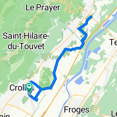
Rhone-Alpes: Etappe 5
A cycling route starting in Crolles, Auvergne-Rhône-Alpes, France.
Overview
About this route
Start: Crolles
- Saint-Bernard - Col du Coq - Col du Cucheron - Col du Granier End: Montmélian- -:--
- Duration
- 80.8 km
- Distance
- 2,120 m
- Ascent
- 2,078 m
- Descent
- ---
- Avg. speed
- ---
- Max. altitude
Route quality
Waytypes & surfaces along the route
Waytypes
Road
23.4 km
(29 %)
Quiet road
4 km
(5 %)
Surfaces
Paved
44.5 km
(55 %)
Unpaved
0.8 km
(1 %)
Asphalt
44.5 km
(55 %)
Gravel
0.8 km
(1 %)
Undefined
35.6 km
(44 %)
Route highlights
Points of interest along the route

Point of interest after 0.4 km
Pradotel Adresse: 755 Avenue Ambroise Croizat, 38920 Crolles, Frankreich Telefon:+33 4 76 92 84 84

Point of interest after 0.7 km
Frühstück

Point of interest after 28.4 km
Col du Coq, 1434

Point of interest after 28.8 km
Brotzeit

Point of interest after 44.2 km
Col du Cucheron, 1140m

Point of interest after 61.4 km
Col du Granier, 1134m

Point of interest after 80.8 km
Hotel George Adresse: 11 Quai Isère, 73800 Montmélian, Frankreich Telefon:+33 4 79 84 05 87

Point of interest after 80.8 km
Brücke
Continue with Bikemap
Use, edit, or download this cycling route
You would like to ride Rhone-Alpes: Etappe 5 or customize it for your own trip? Here is what you can do with this Bikemap route:
Free features
- Save this route as favorite or in collections
- Copy & plan your own version of this route
- Split it into stages to create a multi-day tour
- Sync your route with Garmin or Wahoo
Premium features
Free trial for 3 days, or one-time payment. More about Bikemap Premium.
- Navigate this route on iOS & Android
- Export a GPX / KML file of this route
- Create your custom printout (try it for free)
- Download this route for offline navigation
Discover more Premium features.
Get Bikemap PremiumFrom our community
Other popular routes starting in Crolles
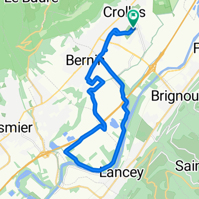
 De Place de l'Emendra à Place de l'Emendra
- Distance
- 16.7 km
- Ascent
- 82 m
- Descent
- 136 m
- Location
- Crolles, Auvergne-Rhône-Alpes, France
 De Place de l'Emendra à Place de l'Emendra
- Distance
- 16.3 km
- Ascent
- 134 m
- Descent
- 184 m
- Location
- Crolles, Auvergne-Rhône-Alpes, France
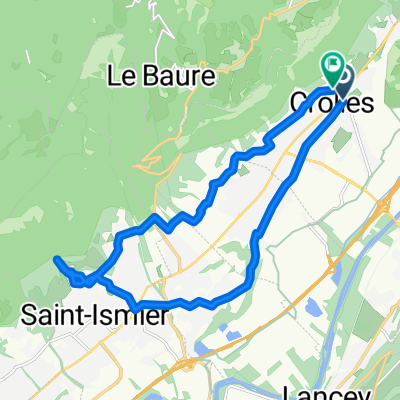
 Col Hunting in the Chartreuse Alps
- Distance
- 92 km
- Ascent
- 2,629 m
- Descent
- 2,629 m
- Location
- Crolles, Auvergne-Rhône-Alpes, France
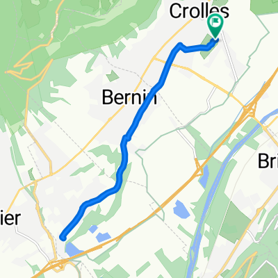
 Avenue de la Résistance, Crolles à Avenue de la Résistance, Crolles
- Distance
- 17.3 km
- Ascent
- 401 m
- Descent
- 401 m
- Location
- Crolles, Auvergne-Rhône-Alpes, France
 Long bike tour from Crolles to Domène
- Distance
- 48.4 km
- Ascent
- 519 m
- Descent
- 514 m
- Location
- Crolles, Auvergne-Rhône-Alpes, France
 1/ Crolles - Culoz
- Distance
- 89 km
- Ascent
- 315 m
- Descent
- 323 m
- Location
- Crolles, Auvergne-Rhône-Alpes, France
 Essai Trike à Crolles 38
- Distance
- 5.1 km
- Ascent
- 56 m
- Descent
- 56 m
- Location
- Crolles, Auvergne-Rhône-Alpes, France
 De Place de l'Emendra à Place de l'Emendra
- Distance
- 11.5 km
- Ascent
- 114 m
- Descent
- 166 m
- Location
- Crolles, Auvergne-Rhône-Alpes, France
Open it in the app