Burgfeld - Höttling - Auerbach - St. Lorenzen - Burgfeld
- 12 km
- 332 m
- 332 m
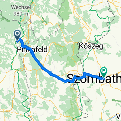
- Dechantskirchen, Styria, Austria
A cycling route starting in Dechantskirchen, Styria, Austria.
Overview
A beautiful route with selective climbs that are rewarded with fast descents.
created this 11 years ago
Route quality
Quiet road
3.3 km
(3 %)
Cycleway
3.3 km
(3 %)
Paved
48 km
(43 %)
Unpaved
1.1 km
(1 %)
Asphalt
48 km
(43 %)
Unpaved (undefined)
1.1 km
(1 %)
Undefined
62.5 km
(56 %)
Continue with Bikemap
You would like to ride Dechantskirchen-Mariazell or customize it for your own trip? Here is what you can do with this Bikemap route:
Free trial for 3 days, or one-time payment. More about Bikemap Premium.
Discover more Premium features.
Get Bikemap PremiumFrom our community
Open it in the app