

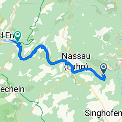
Lahn-Taunus-Westerwald-Runde
A cycling route starting in Obernhof, Rhineland-Palatinate, Germany.
Overview
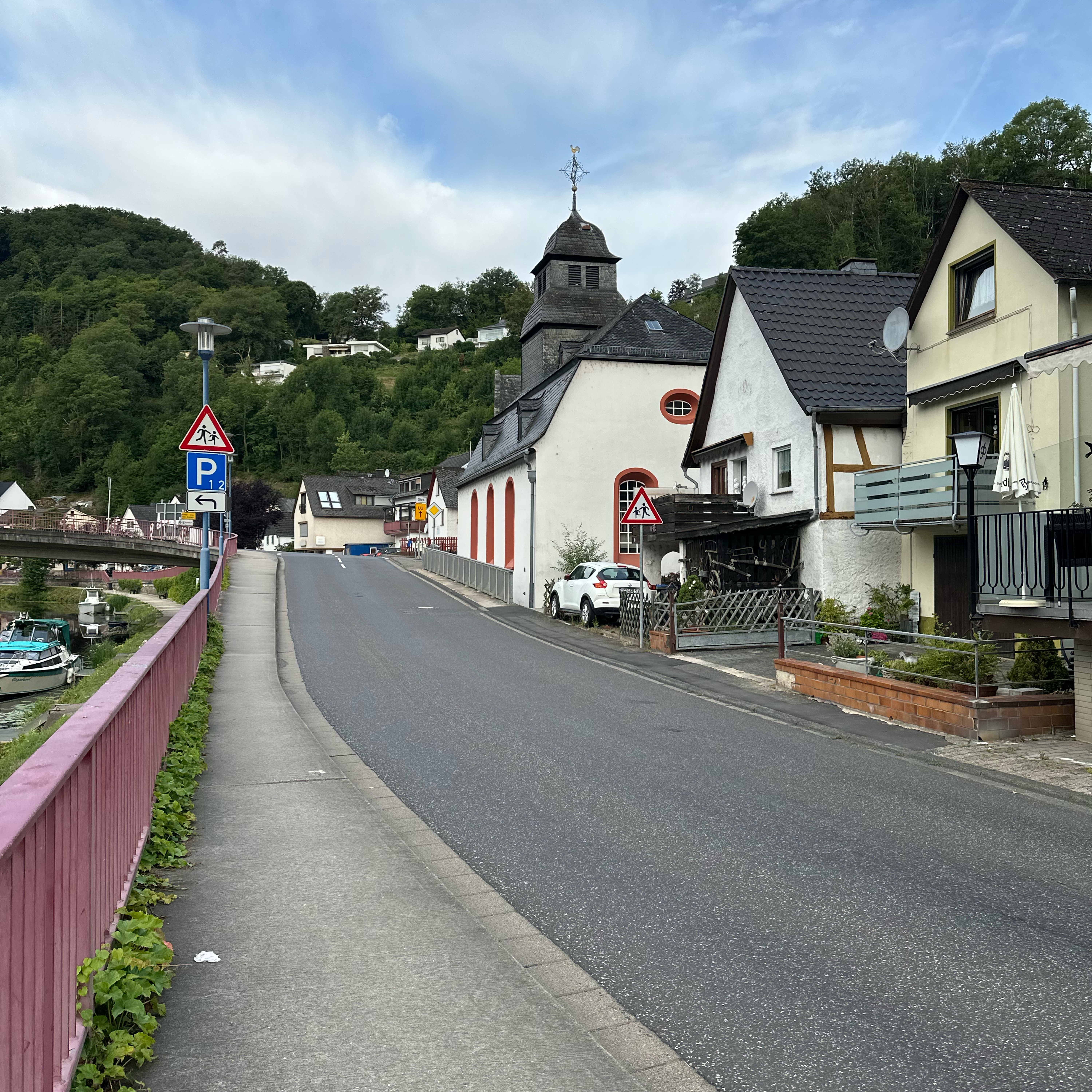
About this route
Only on the section Gelbachtal - Bad Ems is a federal road to be used. Even here, alternatively the Lahntalradweg can be used.
From Bad Ems and then through Taunus and Westerwald, only low-traffic side roads are used. Here, one can continuously enjoy magnificent views over the ÖLahntal towards the heights of the Westerwald!- -:--
- Duration
- 78.1 km
- Distance
- 963 m
- Ascent
- 969 m
- Descent
- ---
- Avg. speed
- ---
- Max. altitude
Route quality
Waytypes & surfaces along the route
Waytypes
Road
31.3 km
(40 %)
Quiet road
6.3 km
(8 %)
Surfaces
Paved
29.7 km
(38 %)
Unpaved
1.6 km
(2 %)
Asphalt
29.7 km
(38 %)
Gravel
0.8 km
(1 %)
Continue with Bikemap
Use, edit, or download this cycling route
You would like to ride Lahn-Taunus-Westerwald-Runde or customize it for your own trip? Here is what you can do with this Bikemap route:
Free features
- Save this route as favorite or in collections
- Copy & plan your own version of this route
- Sync your route with Garmin or Wahoo
Premium features
Free trial for 3 days, or one-time payment. More about Bikemap Premium.
- Navigate this route on iOS & Android
- Export a GPX / KML file of this route
- Create your custom printout (try it for free)
- Download this route for offline navigation
Discover more Premium features.
Get Bikemap PremiumFrom our community
Other popular routes starting in Obernhof
 1. geführte RTF RSV Nassau 117 Km
- Distance
- 116.9 km
- Ascent
- 860 m
- Descent
- 858 m
- Location
- Obernhof, Rhineland-Palatinate, Germany
 Hauptstraße, Obernhof nach Adolfstraße, Lahnstein
- Distance
- 28.5 km
- Ascent
- 467 m
- Descent
- 489 m
- Location
- Obernhof, Rhineland-Palatinate, Germany
 Obernhof Rundtour 17,3 km
- Distance
- 17.3 km
- Ascent
- 575 m
- Descent
- 576 m
- Location
- Obernhof, Rhineland-Palatinate, Germany
 Rundweg Obernhof - Laurenburg - Häuserhof -Obernhof
- Distance
- 17.3 km
- Ascent
- 624 m
- Descent
- 622 m
- Location
- Obernhof, Rhineland-Palatinate, Germany
 Hollerich, Seelbach nach Römerstraße 5–7, Bad Ems
- Distance
- 12.5 km
- Ascent
- 100 m
- Descent
- 112 m
- Location
- Obernhof, Rhineland-Palatinate, Germany
- RSV Nassau Taunus Runde 2018
- Distance
- 69.4 km
- Ascent
- 747 m
- Descent
- 747 m
- Location
- Obernhof, Rhineland-Palatinate, Germany
 Lahn-Taunus-Westerwald-Runde
- Distance
- 78.1 km
- Ascent
- 963 m
- Descent
- 969 m
- Location
- Obernhof, Rhineland-Palatinate, Germany
 Weinähr - Obernhof - Laurenburg; DB; Obernhof - Weinähr
- Distance
- 9 km
- Ascent
- 326 m
- Descent
- 338 m
- Location
- Obernhof, Rhineland-Palatinate, Germany

Open it in the app