Stage 7 50 Years CSi
- 153.1 km
- 613 m
- 649 m
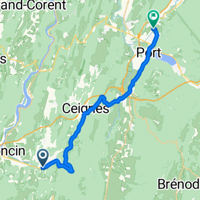
- Poncin, Auvergne-Rhône-Alpes, France
A cycling route starting in Poncin, Auvergne-Rhône-Alpes, France.
Overview
Stage 7 of the bike tour 50 Years CSi, starting from Raamsdonksveer, the Netherlands to l'Bourge d' Oisans, la France.
From Ponsin to Seyssinetcreated this 11 years ago
Route quality
Quiet road
53.6 km
(35 %)
Road
27.6 km
(18 %)
Paved
72 km
(47 %)
Unpaved
3.1 km
(2 %)
Asphalt
72 km
(47 %)
Gravel
1.5 km
(1 %)
Continue with Bikemap
You would like to ride Stage 7 50 Years CSi or customize it for your own trip? Here is what you can do with this Bikemap route:
Free trial for 3 days, or one-time payment. More about Bikemap Premium.
Discover more Premium features.
Get Bikemap PremiumFrom our community
Open it in the app