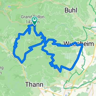
Le Grand Ballon (Descent)
- 15.9 km
- 22 m
- 985 m
- Lautenbachzell, Grand Est, France
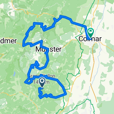
A cycling route starting in Lautenbachzell, Grand Est, France.
Overview
Stage 2: Am Belchen (101 km, 1,520 hm, max. height 1,350 meters, max. gradient 16 percent, characteristics flat, then hilly)
created this 11 years ago
Route quality
Road
28.2 km
(28 %)
Quiet road
10.1 km
(10 %)
Paved
86.7 km
(86 %)
Unpaved
1 km
(1 %)
Asphalt
83.7 km
(83 %)
Paved (undefined)
3 km
(3 %)
Continue with Bikemap
You would like to ride Drei Belchen Tag 2 or customize it for your own trip? Here is what you can do with this Bikemap route:
Free trial for 3 days, or one-time payment. More about Bikemap Premium.
Discover more Premium features.
Get Bikemap PremiumFrom our community
Open it in the app