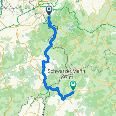
Vennbahn-Schleife 14 - Roetgen
- 38.8 km
- 366 m
- 364 m
- Roetgen, North Rhine-Westphalia, Germany
A cycling route starting in Roetgen, North Rhine-Westphalia, Germany.
Overview
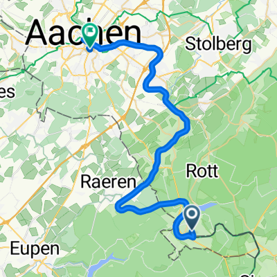
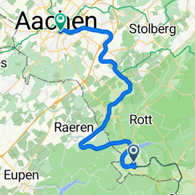
Old railway converted into a bike path. Walheim - Kornelimünster - Brand - Rothe Erde (Aachen).
created this 11 years ago
Route quality
Path
12.7 km
(98 %)
Quiet road
0.1 km
(1 %)
Undefined
0.1 km
(1 %)
Paved
12.9 km
(100 %)
Asphalt
12.6 km
(97 %)
Concrete
0.4 km
(3 %)
Route highlights
 Walheim - Aachen\"")
Kornelimünster-Viadukt
 Walheim - Aachen\"")
Kornelimünster
 Walheim - Aachen\"")
Niederforstbach-Viadukt
Continue with Bikemap
You would like to ride L2563 (48 - Vennbahn) Walheim - Aachen or customize it for your own trip? Here is what you can do with this Bikemap route:
Free trial for 3 days, or one-time payment. More about Bikemap Premium.
Discover more Premium features.
Get Bikemap PremiumFrom our community
Open it in the app