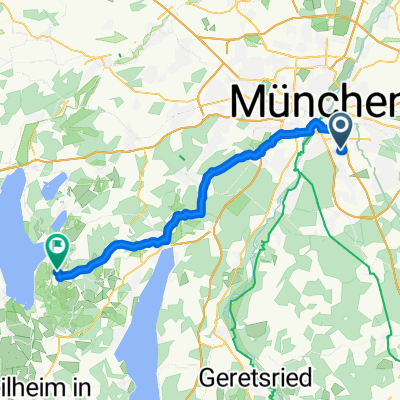
Deininger Weiher - Dietramszell - Teufelsgraben - Darching
- 90.4 km
- 353 m
- 355 m
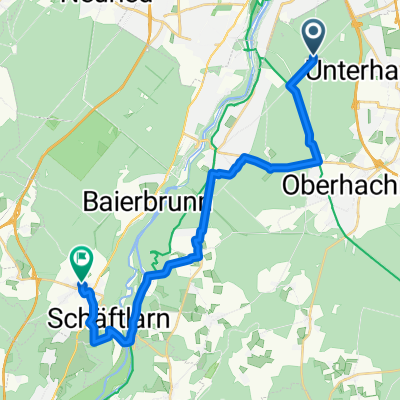
- Unterhaching, Bavaria, Germany
A cycling route starting in Unterhaching, Bavaria, Germany.
Overview
Tour 9 from Moser's Bike-Guide 7: Ridden on 21.05.14 and recorded with GPS. Description according to Moser: Wonderful out-and-back ride on the finest, hidden bike tracks and trails through the Perlacher Forest. Dreamlike small trails descending into the Gleissen Valley (status: 2000!!! - see note) and from the Gleissen Valley back into the forests. Note: The path into the Gleissen Valley is partly overgrown. Best to push the bike from km 29.8/forest path junction to the confluence in the Gleissen Valley/km 20.0. From km 25.6, new routing up to the 'Brunnen-Cleared' junction at km 27.7. The legendary 'Stiegelpfad' no longer exists in its original form over its entire length (now: 'Geothermal Terrace') and is therefore not as interesting technically anymore. Difficulty: Apart from some sections of somewhat worse tracks and many, partly bumpy but overall still rideable trails, there are no particular difficulties. Rating according to Moser: 4 stars (out of 6) / Scenery: 2 (6) / Fitness: 1 (6) / Technical skill: 2 (6) Correction of elevation gain: According to GPS device = 167 m
created this 11 years ago
Route quality
Track
21.3 km
(60 %)
Path
12.1 km
(34 %)
Paved
2.8 km
(8 %)
Unpaved
32.3 km
(91 %)
Gravel
8.5 km
(24 %)
Ground
8.2 km
(23 %)
Continue with Bikemap
You would like to ride Münchner Forste-Gleißental-Trailtour or customize it for your own trip? Here is what you can do with this Bikemap route:
Free trial for 3 days, or one-time payment. More about Bikemap Premium.
Discover more Premium features.
Get Bikemap PremiumFrom our community
Open it in the app