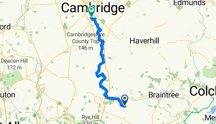

Witham
- 0.2 km
- 0 m
- 0 m
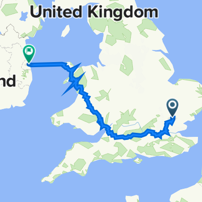
- Takeley, England, United Kingdom
A cycling route starting in Takeley, England, United Kingdom.
Overview
bikemap engeland
created this 11 years ago
Route quality
Quiet road
20.3 km
(33 %)
Road
19.7 km
(32 %)
Paved
21.5 km
(35 %)
Unpaved
9.2 km
(15 %)
Asphalt
21.5 km
(35 %)
Gravel
6.8 km
(11 %)
Continue with Bikemap
You would like to ride 04great canfield trumpington or customize it for your own trip? Here is what you can do with this Bikemap route:
Free trial for 3 days, or one-time payment. More about Bikemap Premium.
Discover more Premium features.
Get Bikemap PremiumFrom our community
Open it in the app