

100 Climbs - South East Combo
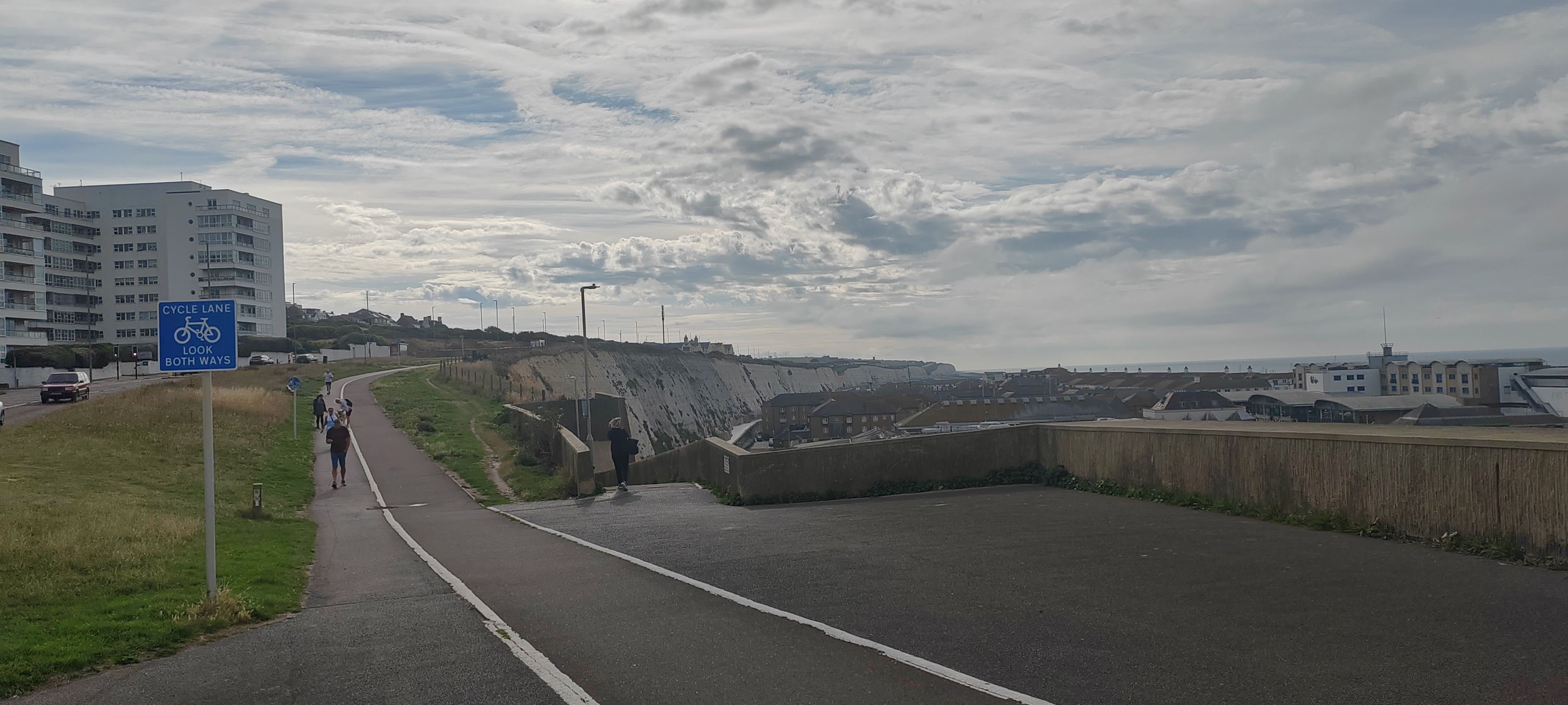
A cycling route starting in Brighton, England, United Kingdom.
Overview
About this route
Some of the climbs from the South East Section of the 100 Climbs books, in one ridiculously futile route.
Steyning Bostal (21)<br /> Barhatch Lane (120)<br /> Combe Lane (116)<br /> Coldharbour Lane (118)<br /> Leith Hill (17)<br /> Whitedown Lane (18)<br /> Boxhill (14)<br /> Chalkpit Lane (117)<br /> White lane (16)<br /> Toys hill (20)<br /> York's hill (15)<br /> Ashdown Forest (115)<br /> The Wall (19)<br /> Ditchling Beacon (22)- -:--
- Duration
- 271.4 km
- Distance
- 1,660 m
- Ascent
- 1,654 m
- Descent
- ---
- Avg. speed
- ---
- Max. altitude

Route quality
Waytypes & surfaces along the route
Waytypes
Road
108.7 km
(40 %)
Busy road
77.5 km
(29 %)
Surfaces
Paved
135.2 km
(50 %)
Unpaved
2 km
(<1 %)
Asphalt
130 km
(48 %)
Paved (undefined)
3 km
(1 %)
Continue with Bikemap
Use, edit, or download this cycling route
You would like to ride 100 Climbs - South East Combo or customize it for your own trip? Here is what you can do with this Bikemap route:
Free features
- Save this route as favorite or in collections
- Copy & plan your own version of this route
- Split it into stages to create a multi-day tour
- Sync your route with Garmin or Wahoo
Premium features
Free trial for 3 days, or one-time payment. More about Bikemap Premium.
- Navigate this route on iOS & Android
- Export a GPX / KML file of this route
- Create your custom printout (try it for free)
- Download this route for offline navigation
Discover more Premium features.
Get Bikemap PremiumFrom our community
Other popular routes starting in Brighton
 Brighton South Downs loop
- Distance
- 35.2 km
- Ascent
- 600 m
- Descent
- 623 m
- Location
- Brighton, England, United Kingdom
 Brighton to Hove
- Distance
- 40.3 km
- Ascent
- 441 m
- Descent
- 437 m
- Location
- Brighton, England, United Kingdom
 Kent Four Day
- Distance
- 405.6 km
- Ascent
- 3,242 m
- Descent
- 3,243 m
- Location
- Brighton, England, United Kingdom
 Dyke, Clappers Lane, Small Dole, Shoreham
- Distance
- 45.5 km
- Ascent
- 287 m
- Descent
- 295 m
- Location
- Brighton, England, United Kingdom
 Route from Barcombe Road 48a
- Distance
- 43.2 km
- Ascent
- 105 m
- Descent
- 186 m
- Location
- Brighton, England, United Kingdom
 D1 Brighton to Portsmouth
- Distance
- 83.5 km
- Ascent
- 89 m
- Descent
- 97 m
- Location
- Brighton, England, United Kingdom
 Cycling
- Distance
- 13 km
- Ascent
- 181 m
- Descent
- 181 m
- Location
- Brighton, England, United Kingdom
 La Tour De Kunt inc hotels
- Distance
- 483.3 km
- Ascent
- 704 m
- Descent
- 704 m
- Location
- Brighton, England, United Kingdom
Open it in the app