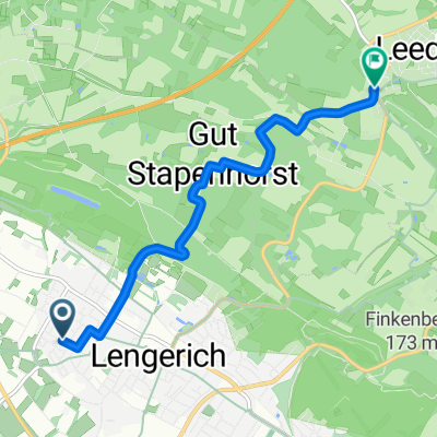
Rauf zum Malepartus
A cycling route starting in Lengerich, North Rhine-Westphalia, Germany.
Overview
About this route
Schöne Rundstrecke rauf zum Malepartus (Waldwirtschaft) und zurück.
- -:--
- Duration
- 24.5 km
- Distance
- 207 m
- Ascent
- 210 m
- Descent
- ---
- Avg. speed
- ---
- Avg. speed
Continue with Bikemap
Use, edit, or download this cycling route
You would like to ride Rauf zum Malepartus or customize it for your own trip? Here is what you can do with this Bikemap route:
Free features
- Save this route as favorite or in collections
- Copy & plan your own version of this route
- Sync your route with Garmin or Wahoo
Premium features
Free trial for 3 days, or one-time payment. More about Bikemap Premium.
- Navigate this route on iOS & Android
- Export a GPX / KML file of this route
- Create your custom printout (try it for free)
- Download this route for offline navigation
Discover more Premium features.
Get Bikemap PremiumFrom our community
Other popular routes starting in Lengerich
- Teuto-Runde I
- Distance
- 68.6 km
- Ascent
- 708 m
- Descent
- 666 m
- Location
- Lengerich, North Rhine-Westphalia, Germany
- Lengerich - Bad Iburg - kl. Ahornweg - Bad Iburg - Lengerich
- Distance
- 64.7 km
- Ascent
- 1,257 m
- Descent
- 1,199 m
- Location
- Lengerich, North Rhine-Westphalia, Germany
- Von Lengerich bis Lienen
- Distance
- 19.4 km
- Ascent
- 305 m
- Descent
- 260 m
- Location
- Lengerich, North Rhine-Westphalia, Germany
- Teuto-Runde I CLONED FROM ROUTE 290952
- Distance
- 68.7 km
- Ascent
- 568 m
- Descent
- 569 m
- Location
- Lengerich, North Rhine-Westphalia, Germany
- Bocketal und zurück
- Distance
- 25.7 km
- Ascent
- 291 m
- Descent
- 281 m
- Location
- Lengerich, North Rhine-Westphalia, Germany
- Lengerich-Haus Marck-Leeden-Holperdorp-Iburg-Glane-Lienen
- Distance
- 50.5 km
- Ascent
- 224 m
- Descent
- 223 m
- Location
- Lengerich, North Rhine-Westphalia, Germany
- Teuto-Runde III 100km
- Distance
- 98.8 km
- Ascent
- 574 m
- Descent
- 574 m
- Location
- Lengerich, North Rhine-Westphalia, Germany
- 144 04_06_2019_Hellern
- Distance
- 41.6 km
- Ascent
- 316 m
- Descent
- 309 m
- Location
- Lengerich, North Rhine-Westphalia, Germany
Open it in the app