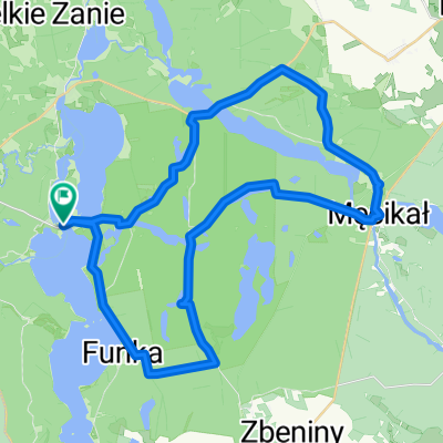
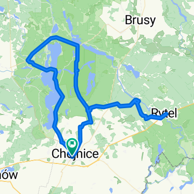
Szlak Niebieski Parku Narodowego Borów Tucholskich
- 84 km
- 244 m
- 246 m
- Chojnice, Pomeranian Voivodeship, Poland
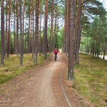
A cycling route starting in Chojnice, Pomeranian Voivodeship, Poland.
Overview
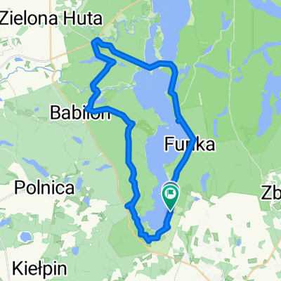
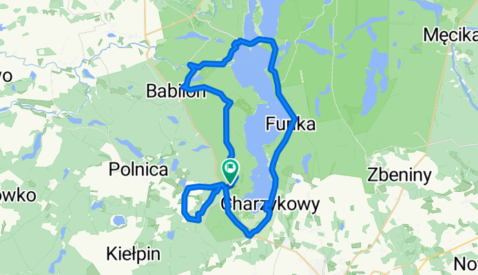
Czarnoszyce - Małe Swornegacie - Funka - Charzykowy - Czarnoszyce
created this 11 years ago
Continue with Bikemap
You would like to ride Jezioro Charzykowskie or customize it for your own trip? Here is what you can do with this Bikemap route:
Free trial for 3 days, or one-time payment. More about Bikemap Premium.
Discover more Premium features.
Get Bikemap PremiumFrom our community
Open it in the app