

Bláfjallahringurinn
A cycling route starting in Kopavogur, Capital Region, Iceland.
Overview
About this route
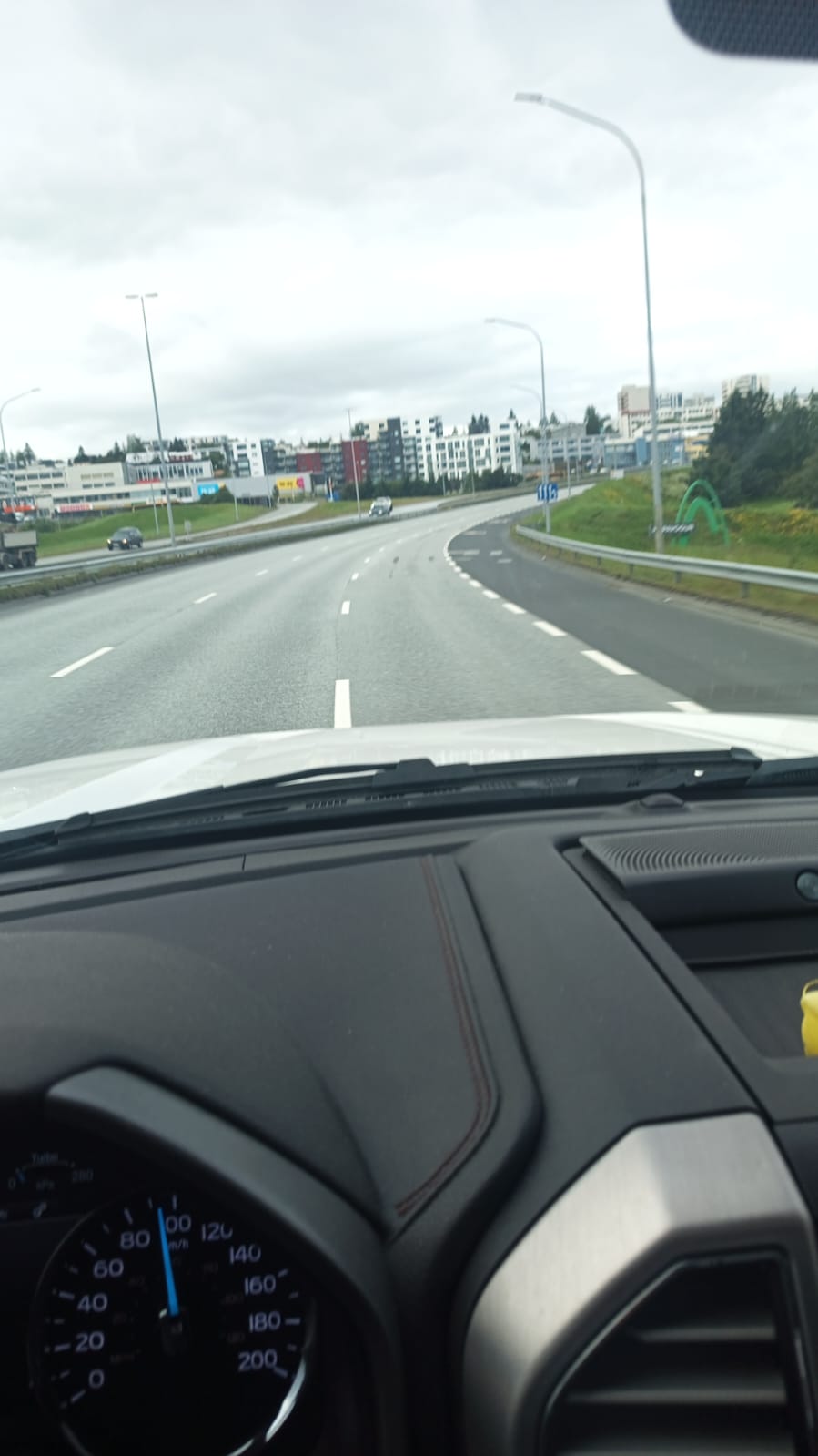
Bláfjallahringurinn U&E at Olís by Rauðavatn
- -:--
- Duration
- 57.7 km
- Distance
- 485 m
- Ascent
- 485 m
- Descent
- ---
- Avg. speed
- ---
- Max. altitude
Continue with Bikemap
Use, edit, or download this cycling route
You would like to ride Bláfjallahringurinn or customize it for your own trip? Here is what you can do with this Bikemap route:
Free features
- Save this route as favorite or in collections
- Copy & plan your own version of this route
- Sync your route with Garmin or Wahoo
Premium features
Free trial for 3 days, or one-time payment. More about Bikemap Premium.
- Navigate this route on iOS & Android
- Export a GPX / KML file of this route
- Create your custom printout (try it for free)
- Download this route for offline navigation
Discover more Premium features.
Get Bikemap PremiumFrom our community
Other popular routes starting in Kopavogur
 Skógarhjalli, Kópavogur to Skógarhjalli, Kópavogur
- Distance
- 8.9 km
- Ascent
- 91 m
- Descent
- 90 m
- Location
- Kopavogur, Capital Region, Iceland
 Rund um Island
- Distance
- 2,203.7 km
- Ascent
- 1,038 m
- Descent
- 1,050 m
- Location
- Kopavogur, Capital Region, Iceland
 Kópavogsgerði to Neðstatröð
- Distance
- 112 km
- Ascent
- 1,024 m
- Descent
- 990 m
- Location
- Kopavogur, Capital Region, Iceland
 Bláfjallahringurinn
- Distance
- 57.7 km
- Ascent
- 485 m
- Descent
- 485 m
- Location
- Kopavogur, Capital Region, Iceland
 Skógarhjalli, Kópavogur to Skógarhjalli, Kópavogur
- Distance
- 24.9 km
- Ascent
- 310 m
- Descent
- 292 m
- Location
- Kopavogur, Capital Region, Iceland
 KAGK 5
- Distance
- 27.4 km
- Ascent
- 171 m
- Descent
- 167 m
- Location
- Kopavogur, Capital Region, Iceland
 Iceland track
- Distance
- 1,321.3 km
- Ascent
- 0 m
- Descent
- 0 m
- Location
- Kopavogur, Capital Region, Iceland
 KAGK 6
- Distance
- 18.2 km
- Ascent
- 99 m
- Descent
- 94 m
- Location
- Kopavogur, Capital Region, Iceland
Open it in the app