


ATAJO ORIHUELA DEL TREMEDAL - CHECA
- 15.6 km
- 160 m
- 309 m
- Orihuela del Tremedal, Aragon, Spain
A cycling route starting in Orihuela del Tremedal, Aragon, Spain.
Overview
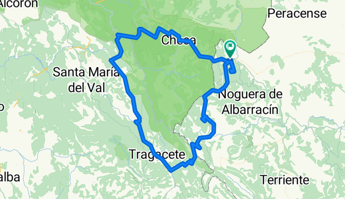
Route that leaves Orihuela del Tremedal and borders the Alto Tajo Natural Park and the source of the Cuervo river, with the peaks of Belvalle, Cubillo-Portillo, Muela de San Juan, and Nuestra Señora del Tremedal.
created this 11 years ago
Route quality
Road
38.3 km
(27 %)
Quiet road
17 km
(12 %)
Paved
19.8 km
(14 %)
Unpaved
8.5 km
(6 %)
Asphalt
11.3 km
(8 %)
Paved (undefined)
8.5 km
(6 %)
Continue with Bikemap
You would like to ride ALTO TAJO EXTREM or customize it for your own trip? Here is what you can do with this Bikemap route:
Free trial for 3 days, or one-time payment. More about Bikemap Premium.
Discover more Premium features.
Get Bikemap PremiumFrom our community
Open it in the app


