Stilles Moor und ein warmer Badesee
- 40.6 km
- 237 m
- 237 m
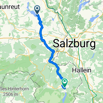
- Petting, Bavaria, Germany
A cycling route starting in Petting, Bavaria, Germany.
Overview
except for an unpaved forest section between Tacherting and Tengling, always asphalt bike paths, small transitional sections on normal roads
created this 11 years ago
Route quality
Road
7 km
25 %
Quiet road
5.6 km
20 %
Paved
17.9 km
(64 %)
Unpaved
2.5 km
(9 %)
Asphalt
17.9 km
64 %
Gravel
1.4 km
5 %
Continue with Bikemap
You would like to ride Waginger und Tachinger Seen Runde or customize it for your own trip? Here is what you can do with this Bikemap route:
Free trial for 3 days, or one-time payment. More about Bikemap Premium.
Discover more Premium features.
Get Bikemap PremiumFrom our community
Open it in the app