

Donnersbergrunde
A cycling route starting in Münchweiler an der Alsenz, Rhineland-Palatinate, Germany.
Overview
About this route
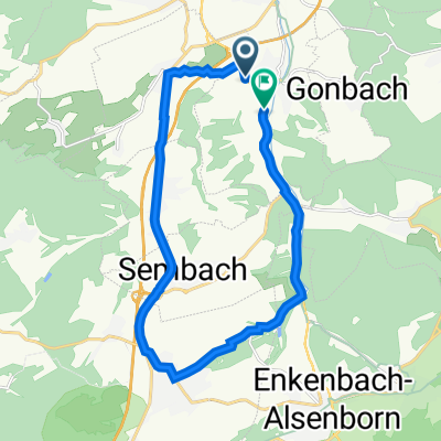
Pure road route around the Donnersberg with some nice views over the Palatinate. Start is at the Hotel Klostermühle in Münchweiler. Duration about 1.5 hours. You should definitely first head east as there is a 25% climb in Falkenstein, which comes at the end of a longer gentle uphill section. The roads are relatively lightly trafficked. A detour up the Donnersberg is possible depending on fitness (another approx. 200m ascent and 3 km uphill).
- -:--
- Duration
- 33.1 km
- Distance
- 577 m
- Ascent
- 569 m
- Descent
- ---
- Avg. speed
- 468 m
- Max. altitude
Route quality
Waytypes & surfaces along the route
Waytypes
Road
10.6 km
(32 %)
Track
4 km
(12 %)
Surfaces
Paved
29.4 km
(89 %)
Unpaved
0.3 km
(1 %)
Asphalt
28.1 km
(85 %)
Paved (undefined)
1 km
(3 %)
Continue with Bikemap
Use, edit, or download this cycling route
You would like to ride Donnersbergrunde or customize it for your own trip? Here is what you can do with this Bikemap route:
Free features
- Save this route as favorite or in collections
- Copy & plan your own version of this route
- Sync your route with Garmin or Wahoo
Premium features
Free trial for 3 days, or one-time payment. More about Bikemap Premium.
- Navigate this route on iOS & Android
- Export a GPX / KML file of this route
- Create your custom printout (try it for free)
- Download this route for offline navigation
Discover more Premium features.
Get Bikemap PremiumFrom our community
Other popular routes starting in Münchweiler an der Alsenz
 Donnersbergrunde
- Distance
- 33.1 km
- Ascent
- 577 m
- Descent
- 569 m
- Location
- Münchweiler an der Alsenz, Rhineland-Palatinate, Germany
 Münchweiler-Johaniskreuz
- Distance
- 85.1 km
- Ascent
- 780 m
- Descent
- 789 m
- Location
- Münchweiler an der Alsenz, Rhineland-Palatinate, Germany
 Münchweiler - Ramsen - Göllheim
- Distance
- 42.9 km
- Ascent
- 371 m
- Descent
- 374 m
- Location
- Münchweiler an der Alsenz, Rhineland-Palatinate, Germany
 Schöne Feierabendrunde
- Distance
- 16.8 km
- Ascent
- 127 m
- Descent
- 149 m
- Location
- Münchweiler an der Alsenz, Rhineland-Palatinate, Germany
 Münchweiler - Breunigweiler - Sippersfeld - Retzberghütte - Neuhemsbach
- Distance
- 25.5 km
- Ascent
- 189 m
- Descent
- 189 m
- Location
- Münchweiler an der Alsenz, Rhineland-Palatinate, Germany
 Donnersberg Runde
- Distance
- 34.3 km
- Ascent
- 657 m
- Descent
- 655 m
- Location
- Münchweiler an der Alsenz, Rhineland-Palatinate, Germany
 Kleine Runde über Winnweiler und Langmeil
- Distance
- 14.6 km
- Ascent
- 138 m
- Descent
- 138 m
- Location
- Münchweiler an der Alsenz, Rhineland-Palatinate, Germany
 Mühlstraße 14, Münchweiler an der Alsenz nach B48, Münchweiler an der Alsenz
- Distance
- 18.3 km
- Ascent
- 113 m
- Descent
- 107 m
- Location
- Münchweiler an der Alsenz, Rhineland-Palatinate, Germany
Open it in the app