Burgfeld - Höttling - Auerbach - St. Lorenzen - Burgfeld
A cycling route starting in Dechantskirchen, Styria, Austria.
Overview
About this route
Burgfeld - Höttling - Auerbache - Sportplatz St. Lorenzen - St. Lorenzen - Burgfeld
- -:--
- Duration
- 12 km
- Distance
- 332 m
- Ascent
- 332 m
- Descent
- ---
- Avg. speed
- ---
- Avg. speed
Route quality
Waytypes & surfaces along the route
Waytypes
Quiet road
7.7 km
(64 %)
Road
3.7 km
(31 %)
Surfaces
Paved
2 km
(17 %)
Unpaved
0.6 km
(5 %)
Asphalt
2 km
(17 %)
Gravel
0.6 km
(5 %)
Undefined
9.4 km
(79 %)
Continue with Bikemap
Use, edit, or download this cycling route
You would like to ride Burgfeld - Höttling - Auerbach - St. Lorenzen - Burgfeld or customize it for your own trip? Here is what you can do with this Bikemap route:
Free features
- Save this route as favorite or in collections
- Copy & plan your own version of this route
- Sync your route with Garmin or Wahoo
Premium features
Free trial for 3 days, or one-time payment. More about Bikemap Premium.
- Navigate this route on iOS & Android
- Export a GPX / KML file of this route
- Create your custom printout (try it for free)
- Download this route for offline navigation
Discover more Premium features.
Get Bikemap PremiumFrom our community
Other popular routes starting in Dechantskirchen
- GST3
- Distance
- 118.3 km
- Ascent
- 1,304 m
- Descent
- 1,304 m
- Location
- Dechantskirchen, Styria, Austria
- Burgfeld - Hohenau (Kapelle) - Bergen - Burgfeld
- Distance
- 10.9 km
- Ascent
- 775 m
- Descent
- 772 m
- Location
- Dechantskirchen, Styria, Austria
- Burgfeld - Oberlungitz
- Distance
- 16.8 km
- Ascent
- 97 m
- Descent
- 325 m
- Location
- Dechantskirchen, Styria, Austria
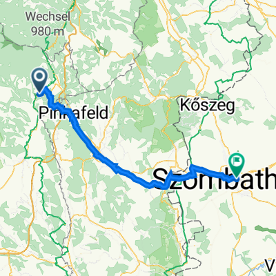
- Dechantskirchen Eisenberg Oberwart
- Distance
- 121.6 km
- Ascent
- 675 m
- Descent
- 718 m
- Location
- Dechantskirchen, Styria, Austria
- Grafendorf, 20. August 2014 - Zusatzrunde Friedberg
- Distance
- 17.6 km
- Ascent
- 296 m
- Descent
- 296 m
- Location
- Dechantskirchen, Styria, Austria
- Hochwechsel Classic
- Distance
- 57.9 km
- Ascent
- 1,473 m
- Descent
- 1,475 m
- Location
- Dechantskirchen, Styria, Austria
- Dechantskirchen - Szombathely
- Distance
- 68 km
- Ascent
- 337 m
- Descent
- 645 m
- Location
- Dechantskirchen, Styria, Austria
- Dechantskirchen-Geschriebenstein
- Distance
- 122.3 km
- Ascent
- 1,473 m
- Descent
- 1,757 m
- Location
- Dechantskirchen, Styria, Austria
Open it in the app