

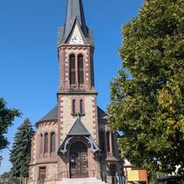
Rund um Krauthausen im Altweibersommer 2014
A cycling route starting in Eisenach, Thuringia, Germany.
Overview
About this route
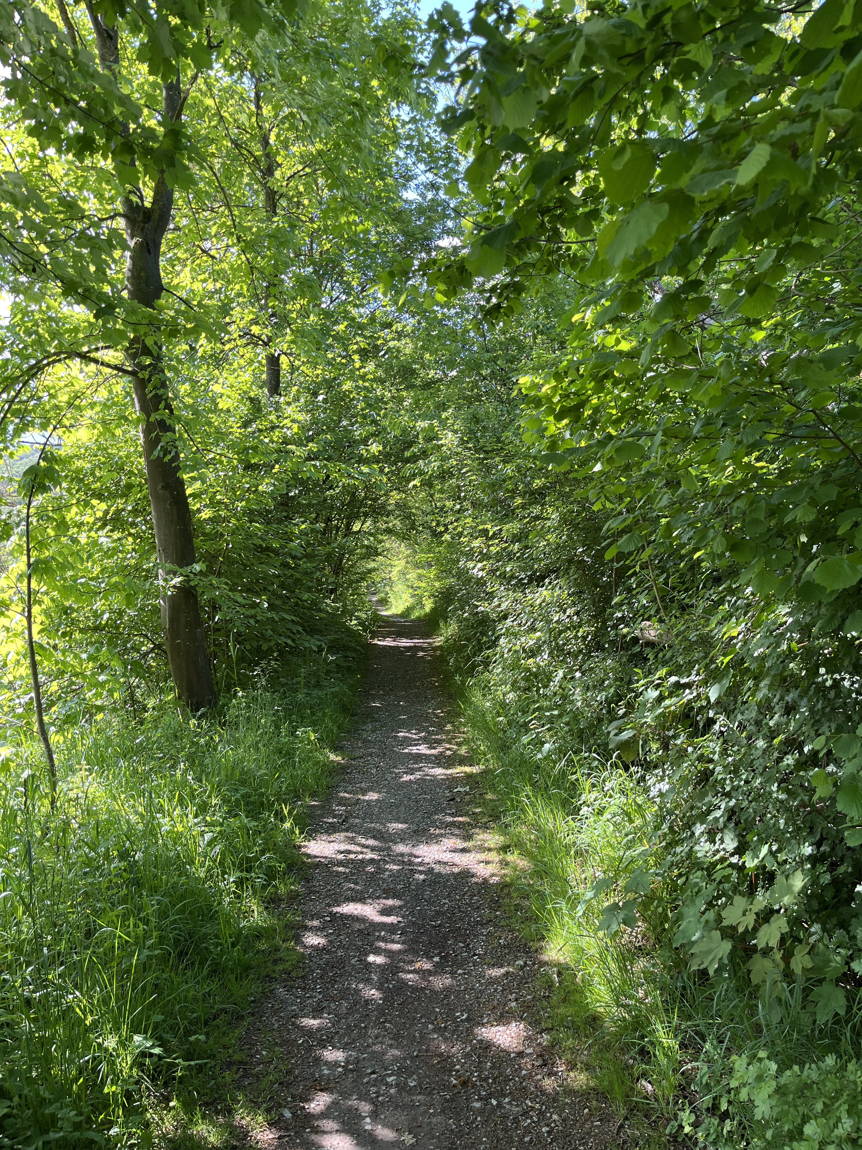
Starting from Eisenach heading towards Ramsborn, passing by there and then turning onto the bike path to Krauthausen. A short plum-picking break, then continuing in Krauthausen around the pond and to the viewpoint. Continuing on to Madelungen, Stregda, and across the Obi market parking lot to Eisenach-Nord. From there, back to the starting point.
- -:--
- Duration
- 12.2 km
- Distance
- 176 m
- Ascent
- 178 m
- Descent
- ---
- Avg. speed
- ---
- Max. altitude
Continue with Bikemap
Use, edit, or download this cycling route
You would like to ride Rund um Krauthausen im Altweibersommer 2014 or customize it for your own trip? Here is what you can do with this Bikemap route:
Free features
- Save this route as favorite or in collections
- Copy & plan your own version of this route
- Sync your route with Garmin or Wahoo
Premium features
Free trial for 3 days, or one-time payment. More about Bikemap Premium.
- Navigate this route on iOS & Android
- Export a GPX / KML file of this route
- Create your custom printout (try it for free)
- Download this route for offline navigation
Discover more Premium features.
Get Bikemap PremiumFrom our community
Other popular routes starting in Eisenach
 Alexanderstraße nach Börnersberg
- Distance
- 77.4 km
- Ascent
- 426 m
- Descent
- 366 m
- Location
- Eisenach, Thuringia, Germany
 Rund um Krauthausen im Altweibersommer 2014
- Distance
- 12.2 km
- Ascent
- 176 m
- Descent
- 178 m
- Location
- Eisenach, Thuringia, Germany
![14.05.10 Eisenach-Weimar [Bilder]](https://media.bikemap.net/routes/490996/staticmaps/in_edc5d340-c37e-4125-ba2b-a2447fc4ffd7_400x400_bikemap-2021-3D-static.png) 14.05.10 Eisenach-Weimar [Bilder]
14.05.10 Eisenach-Weimar [Bilder]- Distance
- 100.9 km
- Ascent
- 508 m
- Descent
- 505 m
- Location
- Eisenach, Thuringia, Germany
 Thüringer Städtekette
- Distance
- 227.2 km
- Ascent
- 673 m
- Descent
- 682 m
- Location
- Eisenach, Thuringia, Germany
 Goethestraße, Eisenach nach Planstraße, Amt Creuzburg
- Distance
- 26.1 km
- Ascent
- 394 m
- Descent
- 431 m
- Location
- Eisenach, Thuringia, Germany
 Wartburg-Wilde Sau-Clausberg-Neuenhof
- Distance
- 28.7 km
- Ascent
- 432 m
- Descent
- 432 m
- Location
- Eisenach, Thuringia, Germany
 Eisenach und 4 Flüsse
- Distance
- 276.4 km
- Ascent
- 381 m
- Descent
- 380 m
- Location
- Eisenach, Thuringia, Germany
 Eisenach-Creuzburg
- Distance
- 43.3 km
- Ascent
- 283 m
- Descent
- 275 m
- Location
- Eisenach, Thuringia, Germany
Open it in the app