
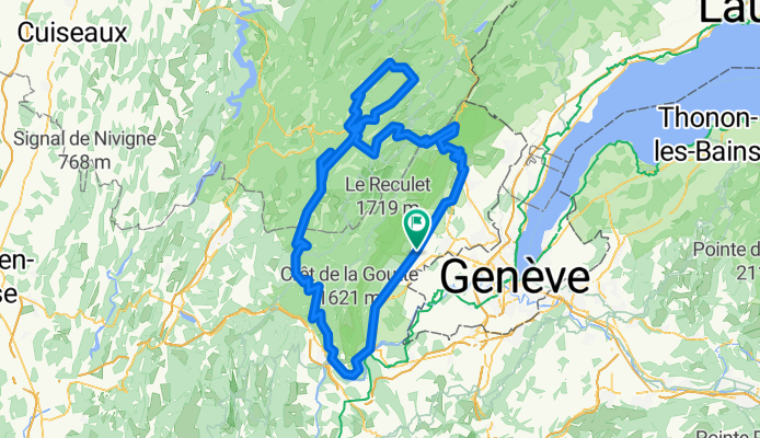
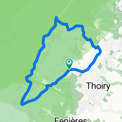
thoiry - st claude loop
A cycling route starting in Thoiry, Auvergne-Rhône-Alpes, France.
Overview
About this route
day trip through pays de gex and jura
- -:--
- Duration
- 178.1 km
- Distance
- 2,667 m
- Ascent
- 2,661 m
- Descent
- ---
- Avg. speed
- ---
- Avg. speed
Route quality
Waytypes & surfaces along the route
Waytypes
Busy road
92.6 km
(52 %)
Road
67.3 km
(38 %)
Surfaces
Paved
91.8 km
(52 %)
Asphalt
91.5 km
(51 %)
Paving stones
0.3 km
(<1 %)
Undefined
86.3 km
(48 %)
Continue with Bikemap
Use, edit, or download this cycling route
You would like to ride thoiry - st claude loop or customize it for your own trip? Here is what you can do with this Bikemap route:
Free features
- Save this route as favorite or in collections
- Copy & plan your own version of this route
- Split it into stages to create a multi-day tour
- Sync your route with Garmin or Wahoo
Premium features
Free trial for 3 days, or one-time payment. More about Bikemap Premium.
- Navigate this route on iOS & Android
- Export a GPX / KML file of this route
- Create your custom printout (try it for free)
- Download this route for offline navigation
Discover more Premium features.
Get Bikemap PremiumFrom our community
Other popular routes starting in Thoiry
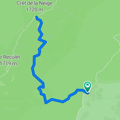 Crêt de la Neige
- Distance
- 9.9 km
- Ascent
- 838 m
- Descent
- 837 m
- Location
- Thoiry, Auvergne-Rhône-Alpes, France
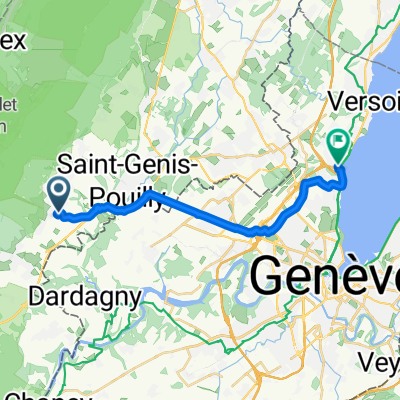
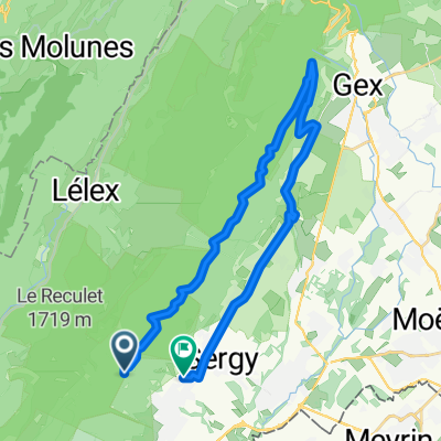 Gex par le tiocan
- Distance
- 28.3 km
- Ascent
- 283 m
- Descent
- 623 m
- Location
- Thoiry, Auvergne-Rhône-Alpes, France
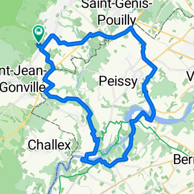
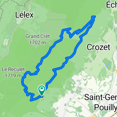 Reculet-Crozet
- Distance
- 23.4 km
- Ascent
- 917 m
- Descent
- 921 m
- Location
- Thoiry, Auvergne-Rhône-Alpes, France
 La descente des Pirannes (via le Tiocan)
- Distance
- 9.2 km
- Ascent
- 368 m
- Descent
- 371 m
- Location
- Thoiry, Auvergne-Rhône-Alpes, France
 De ?¥FÍ? à ?¥FÍ?
- Distance
- 17.8 km
- Ascent
- 60 m
- Descent
- 140 m
- Location
- Thoiry, Auvergne-Rhône-Alpes, France
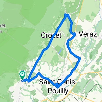
 Reculet-Crozet
- Distance
- 23.4 km
- Ascent
- 850 m
- Descent
- 852 m
- Location
- Thoiry, Auvergne-Rhône-Alpes, France
 58 Impasse des Pruniers, Thoiry to 61 Impasse des Pruniers, Thoiry
- Distance
- 29.4 km
- Ascent
- 523 m
- Descent
- 524 m
- Location
- Thoiry, Auvergne-Rhône-Alpes, France
 2015-07-19-bike-with-cedric
- Distance
- 20 km
- Ascent
- 157 m
- Descent
- 155 m
- Location
- Thoiry, Auvergne-Rhône-Alpes, France
Open it in the app