

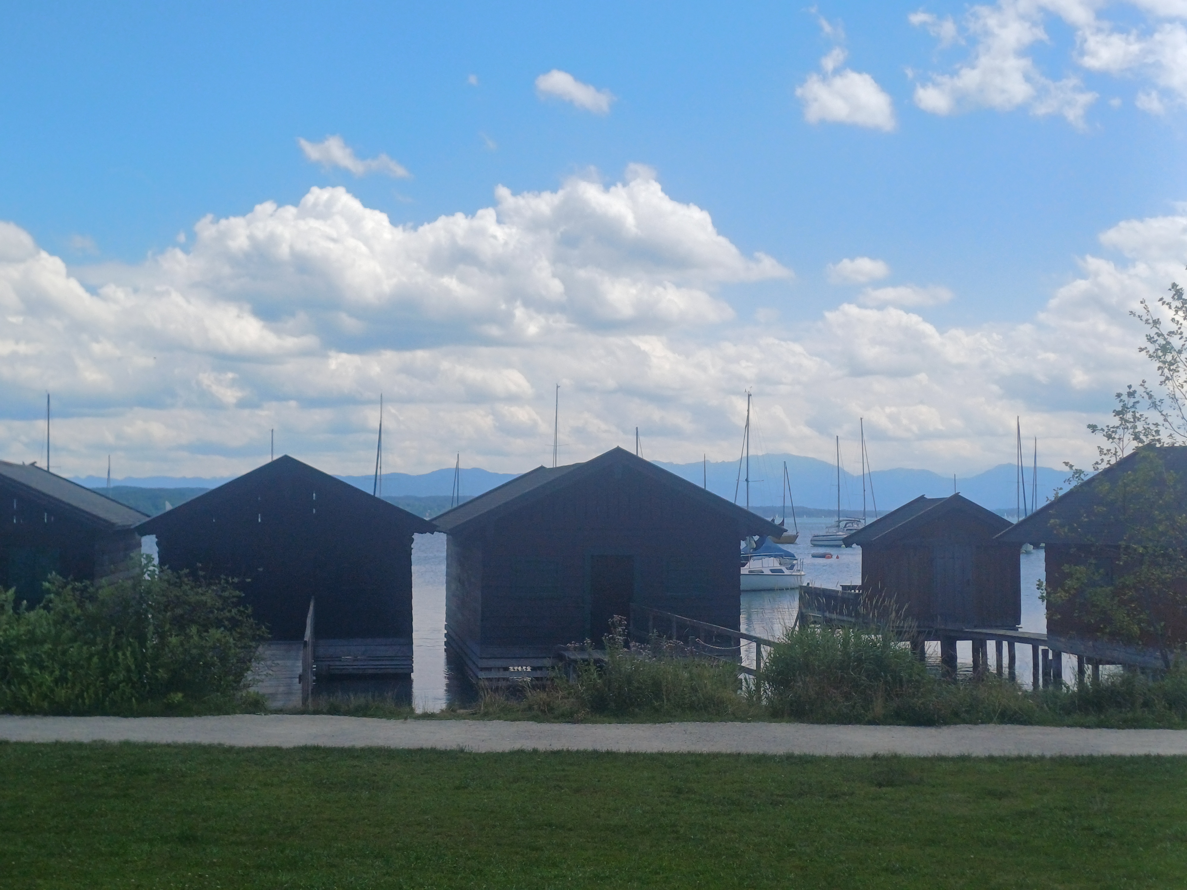
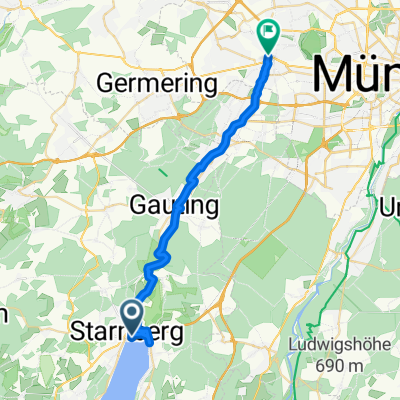
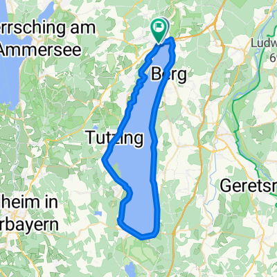
STARNBERGER SEE
A cycling route starting in Starnberg, Bavaria, Germany.
Overview
About this route
TEASI Track
- -:--
- Duration
- 52.6 km
- Distance
- 74 m
- Ascent
- 74 m
- Descent
- ---
- Avg. speed
- ---
- Max. altitude
Route quality
Waytypes & surfaces along the route
Waytypes
Quiet road
16.3 km
(31 %)
Pedestrian area
11 km
(21 %)
Surfaces
Paved
27.9 km
(53 %)
Unpaved
18.9 km
(36 %)
Asphalt
27.3 km
(52 %)
Gravel
14.7 km
(28 %)
Continue with Bikemap
Use, edit, or download this cycling route
You would like to ride STARNBERGER SEE or customize it for your own trip? Here is what you can do with this Bikemap route:
Free features
- Save this route as favorite or in collections
- Copy & plan your own version of this route
- Sync your route with Garmin or Wahoo
Premium features
Free trial for 3 days, or one-time payment. More about Bikemap Premium.
- Navigate this route on iOS & Android
- Export a GPX / KML file of this route
- Create your custom printout (try it for free)
- Download this route for offline navigation
Discover more Premium features.
Get Bikemap PremiumFrom our community
Other popular routes starting in Starnberg
 Am Ufer des Starnberger Sees
- Distance
- 52 km
- Ascent
- 260 m
- Descent
- 251 m
- Location
- Starnberg, Bavaria, Germany
 Runde um den Starnberger See
- Distance
- 55 km
- Ascent
- 421 m
- Descent
- 478 m
- Location
- Starnberg, Bavaria, Germany
 Um den Starnberger See
- Distance
- 50.3 km
- Ascent
- 306 m
- Descent
- 298 m
- Location
- Starnberg, Bavaria, Germany
 Mit dem Rad vom Starnberger See durchs Würmtal nach Pasing
- Distance
- 29.1 km
- Ascent
- 133 m
- Descent
- 195 m
- Location
- Starnberg, Bavaria, Germany
 Percha - Wolfratshausen - Percha
- Distance
- 28.7 km
- Ascent
- 278 m
- Descent
- 278 m
- Location
- Starnberg, Bavaria, Germany
 Starnberg Ufer Rundfahrt 50 KM
- Distance
- 49.8 km
- Ascent
- 45 m
- Descent
- 43 m
- Location
- Starnberg, Bavaria, Germany
 Starnberger See Teil 2
- Distance
- 26 km
- Ascent
- 205 m
- Descent
- 191 m
- Location
- Starnberg, Bavaria, Germany
 Starnberger-See Radtour
- Distance
- 50.2 km
- Ascent
- 203 m
- Descent
- 204 m
- Location
- Starnberg, Bavaria, Germany
Open it in the app