

Camino 2015 07 Les Riceys nach Tonnerre
A cycling route starting in Les Riceys, Grand Est, France.
Overview
About this route
Les Riceys
6,5
6,5
Bagneux-la-Fosse
11,0
4,5
Bragelogne
17,5
6,5
Villiers-le-Blois
22,0
4,5
Étourvy
30,0
8,0
Mézisey
40,0
10,0
Épineuil
43,0
3,0
Tonnerre
Hotel La Ferme de la Fosse Dionne
11, rue de la Fosse Dionne
89700 TONNERRE
Tel : 03 86 54 82 62
Translated, show original (German)- -:--
- Duration
- 42.9 km
- Distance
- 516 m
- Ascent
- 555 m
- Descent
- ---
- Avg. speed
- ---
- Max. altitude

Route quality
Waytypes & surfaces along the route
Waytypes
Track
16.7 km
(39 %)
Road
12.9 km
(30 %)
Surfaces
Paved
3 km
(7 %)
Unpaved
12.9 km
(30 %)
Unpaved (undefined)
10.3 km
(24 %)
Gravel
2.1 km
(5 %)
Continue with Bikemap
Use, edit, or download this cycling route
You would like to ride Camino 2015 07 Les Riceys nach Tonnerre or customize it for your own trip? Here is what you can do with this Bikemap route:
Free features
- Save this route as favorite or in collections
- Copy & plan your own version of this route
- Sync your route with Garmin or Wahoo
Premium features
Free trial for 3 days, or one-time payment. More about Bikemap Premium.
- Navigate this route on iOS & Android
- Export a GPX / KML file of this route
- Create your custom printout (try it for free)
- Download this route for offline navigation
Discover more Premium features.
Get Bikemap PremiumFrom our community
Other popular routes starting in Les Riceys
 Griselles-Aisey-Chatillon-Griselles
- Distance
- 95.7 km
- Ascent
- 424 m
- Descent
- 424 m
- Location
- Les Riceys, Grand Est, France
 2 Rue de Bise, Les Riceys à 10 Rue de Bise, Les Riceys
- Distance
- 12.4 km
- Ascent
- 326 m
- Descent
- 325 m
- Location
- Les Riceys, Grand Est, France
 TdF 2011 Et. 5 Les Riceys - Escolives-Sainte-Camille
- Distance
- 82 km
- Ascent
- 589 m
- Descent
- 657 m
- Location
- Les Riceys, Grand Est, France
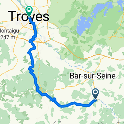 Les Riceys - Troyes
- Distance
- 61.8 km
- Ascent
- 527 m
- Descent
- 623 m
- Location
- Les Riceys, Grand Est, France
 230 Chemin Rural de la Grande Lande, Les Riceys à 1 Rue de la Maison Dieu de Ricey Bas, Les Riceys
- Distance
- 6.1 km
- Ascent
- 58 m
- Descent
- 57 m
- Location
- Les Riceys, Grand Est, France
 Recovered Route
- Distance
- 8.1 km
- Ascent
- 120 m
- Descent
- 119 m
- Location
- Les Riceys, Grand Est, France
 tourmalet 3 etape
- Distance
- 183.9 km
- Ascent
- 1,069 m
- Descent
- 1,075 m
- Location
- Les Riceys, Grand Est, France
 Griselles-Tonnerre-Griselles
- Distance
- 91.6 km
- Ascent
- 685 m
- Descent
- 685 m
- Location
- Les Riceys, Grand Est, France
Open it in the app