
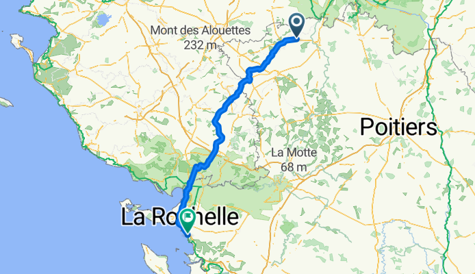
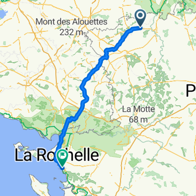
Massais - Chataillion
A cycling route starting in Mauzé-Thouarsais, Nouvelle-Aquitaine, France.
Overview
About this route
I did km with a tailwind. Very beautiful routes.
- -:--
- Duration
- 153.6 km
- Distance
- 415 m
- Ascent
- 511 m
- Descent
- ---
- Avg. speed
- ---
- Max. altitude

Route quality
Waytypes & surfaces along the route
Waytypes
Road
59.9 km
(39 %)
Quiet road
7.7 km
(5 %)
Surfaces
Paved
27.6 km
(18 %)
Unpaved
1.5 km
(1 %)
Asphalt
27.6 km
(18 %)
Gravel
1.5 km
(1 %)
Undefined
124.4 km
(81 %)
Continue with Bikemap
Use, edit, or download this cycling route
You would like to ride Massais - Chataillion or customize it for your own trip? Here is what you can do with this Bikemap route:
Free features
- Save this route as favorite or in collections
- Copy & plan your own version of this route
- Split it into stages to create a multi-day tour
- Sync your route with Garmin or Wahoo
Premium features
Free trial for 3 days, or one-time payment. More about Bikemap Premium.
- Navigate this route on iOS & Android
- Export a GPX / KML file of this route
- Create your custom printout (try it for free)
- Download this route for offline navigation
Discover more Premium features.
Get Bikemap PremiumFrom our community
Other popular routes starting in Mauzé-Thouarsais
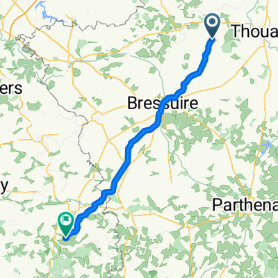 Mauzé-Thouarsais - Antigny
- Distance
- 59.8 km
- Ascent
- 429 m
- Descent
- 472 m
- Location
- Mauzé-Thouarsais, Nouvelle-Aquitaine, France
 Massais - Chataillion
- Distance
- 153.6 km
- Ascent
- 415 m
- Descent
- 511 m
- Location
- Mauzé-Thouarsais, Nouvelle-Aquitaine, France
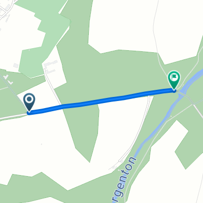 Steady ride in Bouillé-Saint-Paul
- Distance
- 0.9 km
- Ascent
- 0 m
- Descent
- 32 m
- Location
- Mauzé-Thouarsais, Nouvelle-Aquitaine, France
Open it in the app