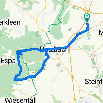
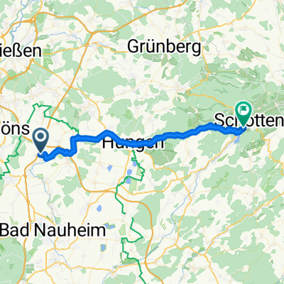
Rundtour zum Hausberg
A cycling route starting in Münzenberg, Hesse, Germany.
Overview
About this route
On the mountain stands the Hausbergturm. You can hike up it and enjoy a very wide view of other places and hills.
The mountain has a height of 486 m above sea level, and the tower is a further 23 m higher.
About the route:
Up to Butzbach and Hoch-Weisel, everything is asphalt, but as soon as you drive into the forest, the gravel begins. The incline to the Hausberg starts from Hoch-Weisel. However, the descent past Oes to the Forsthaus is very fast. But you should be careful, as there is only gravel everywhere and some larger stones are on the track. From Forsthaus it goes a bit uphill again.
- -:--
- Duration
- 28.3 km
- Distance
- 450 m
- Ascent
- 441 m
- Descent
- ---
- Avg. speed
- 480 m
- Max. altitude
Route quality
Waytypes & surfaces along the route
Waytypes
Track
9.6 km
(34 %)
Path
8.5 km
(30 %)
Surfaces
Paved
13.6 km
(48 %)
Unpaved
9 km
(32 %)
Asphalt
13.6 km
(48 %)
Gravel
5.9 km
(21 %)
Continue with Bikemap
Use, edit, or download this cycling route
You would like to ride Rundtour zum Hausberg or customize it for your own trip? Here is what you can do with this Bikemap route:
Free features
- Save this route as favorite or in collections
- Copy & plan your own version of this route
- Sync your route with Garmin or Wahoo
Premium features
Free trial for 3 days, or one-time payment. More about Bikemap Premium.
- Navigate this route on iOS & Android
- Export a GPX / KML file of this route
- Create your custom printout (try it for free)
- Download this route for offline navigation
Discover more Premium features.
Get Bikemap PremiumFrom our community
Other popular routes starting in Münzenberg
- Vorschlag Radtour Himmelfahrt 2020
- Distance
- 211.4 km
- Ascent
- 721 m
- Descent
- 721 m
- Location
- Münzenberg, Hesse, Germany
- von Ober Hörgern zum Butzbacher Schwimmbad
- Distance
- 21.8 km
- Ascent
- 218 m
- Descent
- 177 m
- Location
- Münzenberg, Hesse, Germany
- Von Gambach nach Schotten durch den Naturpark Hoher Vogelsberg
- Distance
- 34.9 km
- Ascent
- 361 m
- Descent
- 266 m
- Location
- Münzenberg, Hesse, Germany
- Steinbruch
- Distance
- 37.4 km
- Ascent
- 128 m
- Descent
- 127 m
- Location
- Münzenberg, Hesse, Germany
- Trainingsstrecke Napoleonstock
- Distance
- 42.3 km
- Ascent
- 377 m
- Descent
- 376 m
- Location
- Münzenberg, Hesse, Germany
- Wölfersheimer See
- Distance
- 20.3 km
- Ascent
- 130 m
- Descent
- 135 m
- Location
- Münzenberg, Hesse, Germany
- Seerunde
- Distance
- 16.6 km
- Ascent
- 58 m
- Descent
- 56 m
- Location
- Münzenberg, Hesse, Germany
- Wetterau 01
- Distance
- 32.8 km
- Ascent
- 255 m
- Descent
- 266 m
- Location
- Münzenberg, Hesse, Germany
Open it in the app