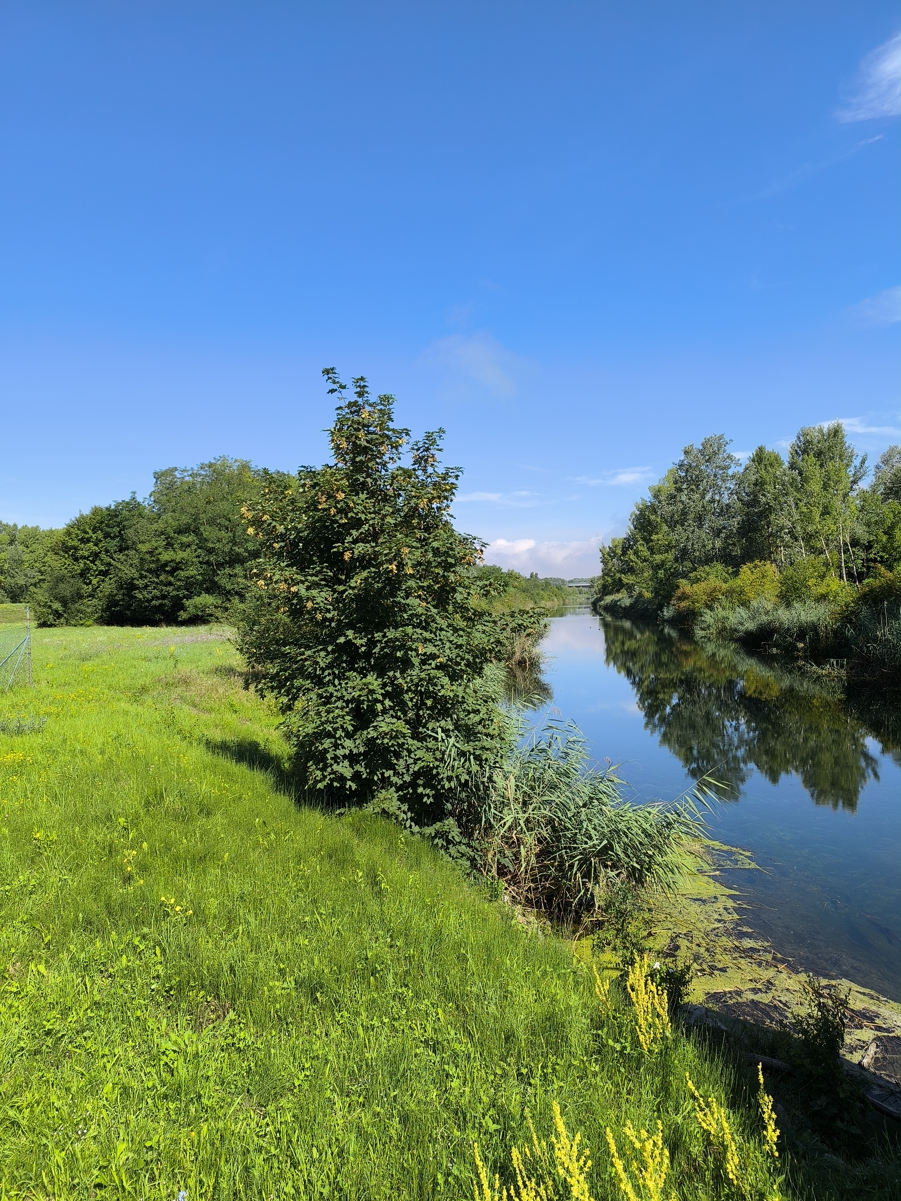
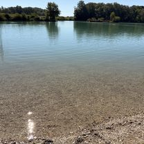
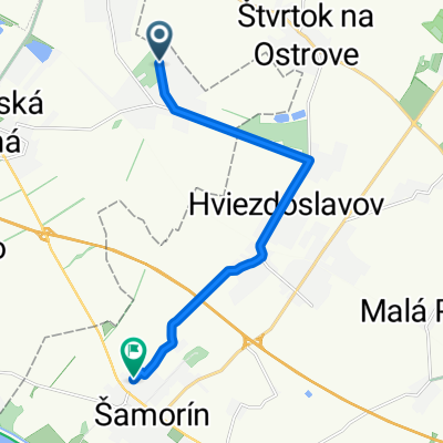
Szent-Márton út
A cycling route starting in Dunajská Lužná, Bratislava Region, Slovakia.
Overview
About this route
Farkastorok, Euro Velo 6, Alistál
- -:--
- Duration
- 61.8 km
- Distance
- 5 m
- Ascent
- 22 m
- Descent
- ---
- Avg. speed
- ---
- Max. altitude
Route highlights
Points of interest along the route
Point of interest after 11.6 km
St. Marton kápolna
Continue with Bikemap
Use, edit, or download this cycling route
You would like to ride Szent-Márton út or customize it for your own trip? Here is what you can do with this Bikemap route:
Free features
- Save this route as favorite or in collections
- Copy & plan your own version of this route
- Sync your route with Garmin or Wahoo
Premium features
Free trial for 3 days, or one-time payment. More about Bikemap Premium.
- Navigate this route on iOS & Android
- Export a GPX / KML file of this route
- Create your custom printout (try it for free)
- Download this route for offline navigation
Discover more Premium features.
Get Bikemap PremiumFrom our community
Other popular routes starting in Dunajská Lužná
- Lengthy bike tour through Rovinka
- Distance
- 36.5 km
- Ascent
- 18 m
- Descent
- 19 m
- Location
- Dunajská Lužná, Bratislava Region, Slovakia
- Rusovce - Autokemping - Rusovce
- Distance
- 19.8 km
- Ascent
- 12 m
- Descent
- 12 m
- Location
- Dunajská Lužná, Bratislava Region, Slovakia
- Rovinata casovka okolo Maleho Dunaja
- Distance
- 49.4 km
- Ascent
- 8 m
- Descent
- 9 m
- Location
- Dunajská Lužná, Bratislava Region, Slovakia
- Nepretržitá jazda Zonc
- Distance
- 35.2 km
- Ascent
- 119 m
- Descent
- 120 m
- Location
- Dunajská Lužná, Bratislava Region, Slovakia
- au moja riť
- Distance
- 56.7 km
- Ascent
- 424 m
- Descent
- 422 m
- Location
- Dunajská Lužná, Bratislava Region, Slovakia
- Lahka vychadzka
- Distance
- 26.3 km
- Ascent
- 14 m
- Descent
- 16 m
- Location
- Dunajská Lužná, Bratislava Region, Slovakia
- Tour de Bałkany 2017 dzień 2
- Distance
- 167.9 km
- Ascent
- 523 m
- Descent
- 541 m
- Location
- Dunajská Lužná, Bratislava Region, Slovakia
- Po Dunajských luhoch a hrádzi Dunaja
- Distance
- 42.1 km
- Ascent
- 28 m
- Descent
- 28 m
- Location
- Dunajská Lužná, Bratislava Region, Slovakia
Open it in the app