Weiz, Trennstein, Anger Floing, Unterfeistritz
- 28.8 km
- 748 m
- 805 m
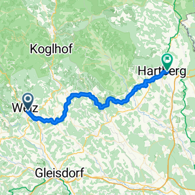
- Weiz, Styria, Austria
A cycling route starting in Weiz, Styria, Austria.
Overview
Weiz, Trennstein, Gschaider Kreuz, Ponigl, Oberdorf, Landscha, Weiz
created this 11 years ago
Route quality
Quiet road
18.4 km
(98 %)
Road
0.4 km
(2 %)
Paved
2.6 km
(14 %)
Asphalt
2.6 km
(14 %)
Undefined
16.1 km
(86 %)
Continue with Bikemap
You would like to ride Rundkurs mit E-Bike or customize it for your own trip? Here is what you can do with this Bikemap route:
Free trial for 3 days, or one-time payment. More about Bikemap Premium.
Discover more Premium features.
Get Bikemap PremiumFrom our community
Open it in the app