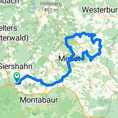
Elgendorf-Wirzenborn-Heiligenroth-Montabaur-Horressen-Elgendorf
- 19.5 km
- 261 m
- 261 m
- Dernbach, Rhineland-Palatinate, Germany
A cycling route starting in Dernbach, Rhineland-Palatinate, Germany.
Overview
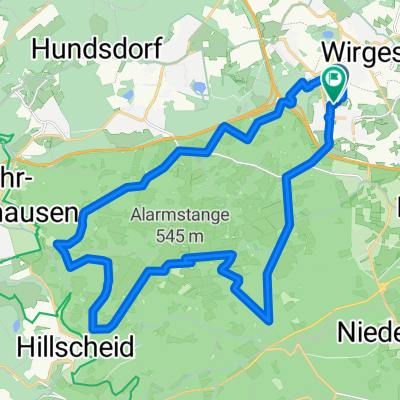
TEASI track
Route quality
Track
20.1 km
(74 %)
Access road
3.3 km
(12 %)
Paved
7.1 km
(26 %)
Unpaved
16.5 km
(61 %)
Unpaved (undefined)
7.3 km
(27 %)
Gravel
4.9 km
(18 %)
Continue with Bikemap
You would like to ride Dernbach Flürchen Sendeantenne Dernbach or customize it for your own trip? Here is what you can do with this Bikemap route:
Free trial for 3 days, or one-time payment. More about Bikemap Premium.
Discover more Premium features.
Get Bikemap PremiumFrom our community
Open it in the app