Radtour Karlstern
- 14.2 km
- 29 m
- 32 m
- Lampertheim, Hesse, Germany
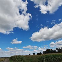
A cycling route starting in Lampertheim, Hesse, Germany.
Overview
The starting and finishing point is the former 'BBC level crossing' in Lampertheim, east side. I'm not always 100% sure about the paths through forested areas, but I have tried to map them to the best of my knowledge and conscience ;-)
created this 17 years ago
Route highlights

Sendemast auf dem Krehberg

Einkehrmöglichkeit "Zum Kreiswald" (www.kreiswald.de)

Waldnerturm
Continue with Bikemap
You would like to ride Krehberg - Juhöhe - Waldnerturm or customize it for your own trip? Here is what you can do with this Bikemap route:
Free trial for 3 days, or one-time payment. More about Bikemap Premium.
Discover more Premium features.
Get Bikemap PremiumFrom our community
Open it in the app