

Ride out from Dorney
A cycling route starting in Eton, England, United Kingdom.
Overview
About this route
Ride out from Dorney
- -:--
- Duration
- 33.1 km
- Distance
- 71 m
- Ascent
- 71 m
- Descent
- ---
- Avg. speed
- ---
- Max. altitude

Route quality
Waytypes & surfaces along the route
Waytypes
Road
7.9 km
(24 %)
Pedestrian area
7.3 km
(22 %)
Surfaces
Paved
16.2 km
(49 %)
Unpaved
5.6 km
(17 %)
Asphalt
15.9 km
(48 %)
Gravel
2.6 km
(8 %)
Continue with Bikemap
Use, edit, or download this cycling route
You would like to ride Ride out from Dorney or customize it for your own trip? Here is what you can do with this Bikemap route:
Free features
- Save this route as favorite or in collections
- Copy & plan your own version of this route
- Sync your route with Garmin or Wahoo
Premium features
Free trial for 3 days, or one-time payment. More about Bikemap Premium.
- Navigate this route on iOS & Android
- Export a GPX / KML file of this route
- Create your custom printout (try it for free)
- Download this route for offline navigation
Discover more Premium features.
Get Bikemap PremiumFrom our community
Other popular routes starting in Eton
 2 Pierson Road, Windsor to 1 Pierson Road, Windsor
- Distance
- 17.7 km
- Ascent
- 77 m
- Descent
- 78 m
- Location
- Eton, England, United Kingdom
 Ride out from Dorney
- Distance
- 33.1 km
- Ascent
- 71 m
- Descent
- 71 m
- Location
- Eton, England, United Kingdom
 Windsor - Lewisham
- Distance
- 49.6 km
- Ascent
- 69 m
- Descent
- 77 m
- Location
- Eton, England, United Kingdom
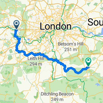 From Windsor to Tonbridge
- Distance
- 122 km
- Ascent
- 904 m
- Descent
- 895 m
- Location
- Eton, England, United Kingdom
 Cookham
- Distance
- 35.5 km
- Ascent
- 111 m
- Descent
- 111 m
- Location
- Eton, England, United Kingdom
 Wraysbury
- Distance
- 33.5 km
- Ascent
- 24 m
- Descent
- 26 m
- Location
- Eton, England, United Kingdom
 NCN 4: Eton to Chelsea
- Distance
- 63.8 km
- Ascent
- 182 m
- Descent
- 199 m
- Location
- Eton, England, United Kingdom
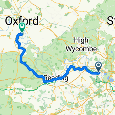 From Windsor to Abingdon
- Distance
- 93 km
- Ascent
- 482 m
- Descent
- 432 m
- Location
- Eton, England, United Kingdom
Open it in the app