Große Karwendelrunde
- 165.5 km
- 1,095 m
- 1,096 m
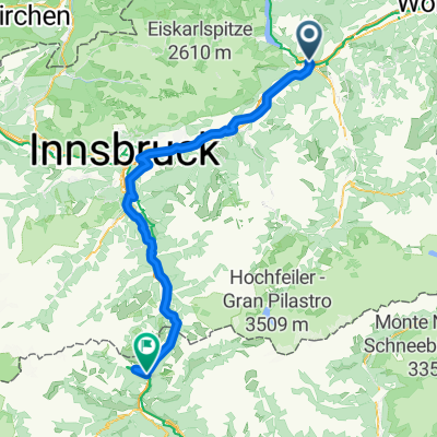
- Wiesing, Tyrol, Austria
A cycling route starting in Wiesing, Tyrol, Austria.
Overview
From Iwesing via the Inn valley to Telfs and onward through Buchen, Leutasch, Mittenwald, through Wallgau along the Isar to the Sylvenstein reservoir at Achenkirch, and back to Wiesing via the Kanzelkehre.
Route quality
Quiet road
31.4 km
(19 %)
Road
19.9 km
(12 %)
Paved
157.2 km
(95 %)
Asphalt
155.6 km
(94 %)
Paved (undefined)
1.7 km
(1 %)
Undefined
8.3 km
(5 %)
Continue with Bikemap
You would like to ride Große Karwendelrunde or customize it for your own trip? Here is what you can do with this Bikemap route:
Free trial for 3 days, or one-time payment. More about Bikemap Premium.
Discover more Premium features.
Get Bikemap PremiumFrom our community
Open it in the app