

Felsberg - Krehberg - Juhöhe
A cycling route starting in Lampertheim, Hesse, Germany.
Overview
About this route
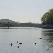
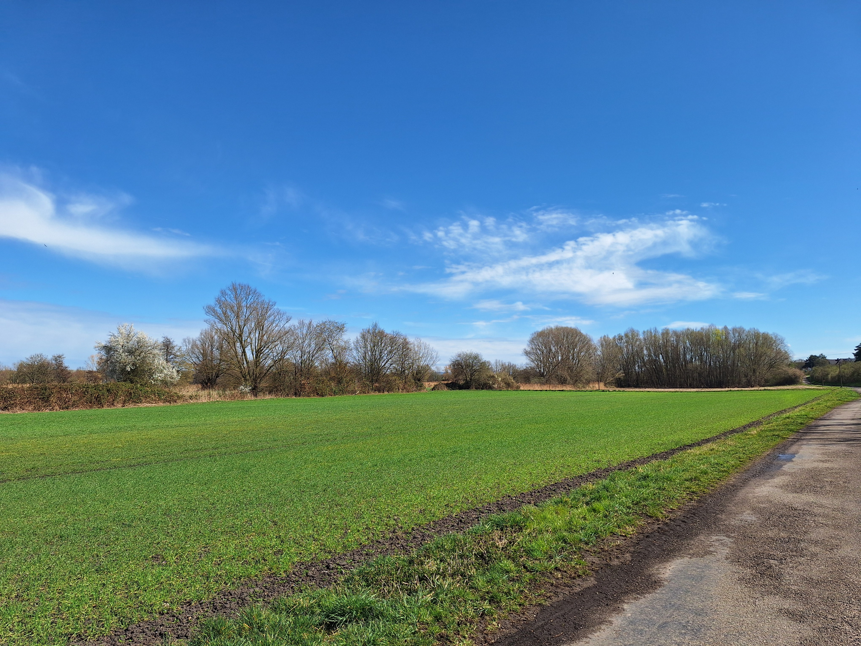
The starting and finishing point is the former 'BBC level crossing' in Lampertheim, east side. I am not always 100% sure about the routes through wooded areas, but I have tried to mark them to the best of my knowledge and conscience ;-).
- -:--
- Duration
- 71.8 km
- Distance
- 1,480 m
- Ascent
- 1,473 m
- Descent
- ---
- Avg. speed
- 589 m
- Max. altitude
Route quality
Waytypes & surfaces along the route
Waytypes
Track
36.6 km
(51 %)
Quiet road
13.6 km
(19 %)
Surfaces
Paved
36.6 km
(51 %)
Unpaved
30.9 km
(43 %)
Asphalt
31.6 km
(44 %)
Gravel
19.4 km
(27 %)
Route highlights
Points of interest along the route
Point of interest after 21.5 km
"Teufelsschanze" (Steile Betonrampe, > 20% !!!)
Continue with Bikemap
Use, edit, or download this cycling route
You would like to ride Felsberg - Krehberg - Juhöhe or customize it for your own trip? Here is what you can do with this Bikemap route:
Free features
- Save this route as favorite or in collections
- Copy & plan your own version of this route
- Sync your route with Garmin or Wahoo
Premium features
Free trial for 3 days, or one-time payment. More about Bikemap Premium.
- Navigate this route on iOS & Android
- Export a GPX / KML file of this route
- Create your custom printout (try it for free)
- Download this route for offline navigation
Discover more Premium features.
Get Bikemap PremiumFrom our community
Other popular routes starting in Lampertheim
 Rhein Tour
- Distance
- 29.1 km
- Ascent
- 69 m
- Descent
- 75 m
- Location
- Lampertheim, Hesse, Germany
 Radtour Karlstern
- Distance
- 14.2 km
- Ascent
- 29 m
- Descent
- 32 m
- Location
- Lampertheim, Hesse, Germany
 Sandhofen, Riedspitze
- Distance
- 8.4 km
- Ascent
- 14 m
- Descent
- 17 m
- Location
- Lampertheim, Hesse, Germany
 22.03.2025 Radtour Blumenau
- Distance
- 10.2 km
- Ascent
- 10 m
- Descent
- 10 m
- Location
- Lampertheim, Hesse, Germany
 Sandhofen, Bobenheim-Roxheim, Petersau Worms, über Rheinbrücke, Lampüertheim, Sandhofen
- Distance
- 32.2 km
- Ascent
- 64 m
- Descent
- 66 m
- Location
- Lampertheim, Hesse, Germany
 Radrundweg Lampertheim
- Distance
- 12.1 km
- Ascent
- 4 m
- Descent
- 4 m
- Location
- Lampertheim, Hesse, Germany
 Sandhofen , Lampertheim und zurück
- Distance
- 18.1 km
- Ascent
- 26 m
- Descent
- 29 m
- Location
- Lampertheim, Hesse, Germany
 Feierabendrunde Biedensand
- Distance
- 12.9 km
- Ascent
- 25 m
- Descent
- 25 m
- Location
- Lampertheim, Hesse, Germany
Open it in the app