Puentenansa - Aliezo
- 47.5 km
- 1,265 m
- 1,145 m
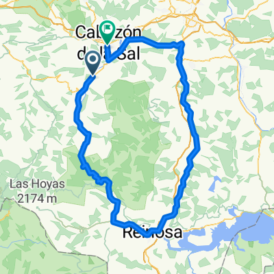
- Ruente, Cantabria, Spain
A cycling route starting in Ruente, Cantabria, Spain.
Overview
From Cosío to Garabandal and back to the Abellán pass along the slope of Peña Sagra. Descent via Braña del Castro to Garabandal and then by road to Cosío.
created this 11 years ago
Route quality
Track
15.1 km
(52 %)
Road
9.6 km
(33 %)
Unpaved
15.1 km
(52 %)
Gravel
14.5 km
(50 %)
Unpaved (undefined)
0.6 km
(2 %)
Undefined
13.9 km
(48 %)
Continue with Bikemap
You would like to ride Vuelta Cosío-Garabandal-Collado Abellán or customize it for your own trip? Here is what you can do with this Bikemap route:
Free trial for 3 days, or one-time payment. More about Bikemap Premium.
Discover more Premium features.
Get Bikemap PremiumFrom our community
Open it in the app