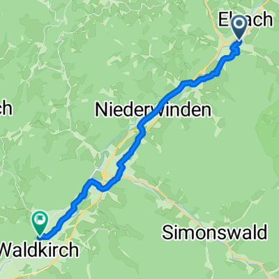
Mont Sainte Odile (Vogesen)
A cycling route starting in Elzach, Baden-Wurttemberg, Germany.
Overview
About this route
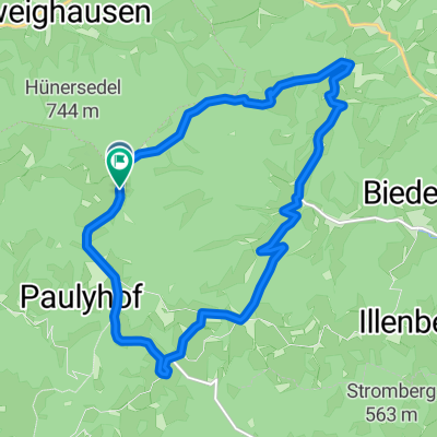
Beautiful ride from Elzach to Mont Sainte Odile in the Vosges. The Odilienberg rises in Alsace near the towns of Obernai and Barr on the eastern edge of the Vosges at an elevation of 763 m above the Upper Rhine plain and is crowned by a monastery. From Elzach via L 101 and 103 initially to Ettenheim, then to the free ferry on the Rhine to Kappel. From there to Obernai at the foot of the Vosges. Ascent to Odilienberg and subsequent descent to Barr. Along the Alsatian wine route to Ribeauville. Through Sasbach am Kaiserstuhl back to Elzach.
- -:--
- Duration
- 203.5 km
- Distance
- 1,342 m
- Ascent
- 1,338 m
- Descent
- ---
- Avg. speed
- ---
- Max. altitude
Route quality
Waytypes & surfaces along the route
Waytypes
Road
32.6 km
(16 %)
Quiet road
24.4 km
(12 %)
Surfaces
Paved
144.5 km
(71 %)
Unpaved
2 km
(1 %)
Asphalt
136.4 km
(67 %)
Paved (undefined)
8.1 km
(4 %)
Continue with Bikemap
Use, edit, or download this cycling route
You would like to ride Mont Sainte Odile (Vogesen) or customize it for your own trip? Here is what you can do with this Bikemap route:
Free features
- Save this route as favorite or in collections
- Copy & plan your own version of this route
- Split it into stages to create a multi-day tour
- Sync your route with Garmin or Wahoo
Premium features
Free trial for 3 days, or one-time payment. More about Bikemap Premium.
- Navigate this route on iOS & Android
- Export a GPX / KML file of this route
- Create your custom printout (try it for free)
- Download this route for offline navigation
Discover more Premium features.
Get Bikemap PremiumFrom our community
Other popular routes starting in Elzach
- Schwarzwaldreise 2015
- Distance
- 271.2 km
- Ascent
- 2,684 m
- Descent
- 2,744 m
- Location
- Elzach, Baden-Wurttemberg, Germany
- Siebentaeler-Rundfahrt
- Distance
- 145.7 km
- Ascent
- 2,043 m
- Descent
- 1,770 m
- Location
- Elzach, Baden-Wurttemberg, Germany
- Mont Sainte Odile (Vogesen)
- Distance
- 203.5 km
- Ascent
- 1,342 m
- Descent
- 1,338 m
- Location
- Elzach, Baden-Wurttemberg, Germany
- Elzach Lahr
- Distance
- 93.8 km
- Ascent
- 869 m
- Descent
- 856 m
- Location
- Elzach, Baden-Wurttemberg, Germany
- 13 ZW1 Oberwinden
- Distance
- 54.7 km
- Ascent
- 1,112 m
- Descent
- 1,048 m
- Location
- Elzach, Baden-Wurttemberg, Germany
- SC 53 Windener Runde über Freiamt
- Distance
- 52.9 km
- Ascent
- 1,168 m
- Descent
- 1,162 m
- Location
- Elzach, Baden-Wurttemberg, Germany
- Bust Reichenbach Runde
- Distance
- 14.8 km
- Ascent
- 445 m
- Descent
- 447 m
- Location
- Elzach, Baden-Wurttemberg, Germany
- Rundfahrt: Elzach-Biereck-Heidburg-Elzach
- Distance
- 15.6 km
- Ascent
- 332 m
- Descent
- 329 m
- Location
- Elzach, Baden-Wurttemberg, Germany
Open it in the app