

D aponte in valtellina alle baite Pratacci e Michelini
A cycling route starting in Chiuro, Lombardy, Italy.
Overview
About this route
Up to the Armida power plant paved. Then gravel road.
- -:--
- Duration
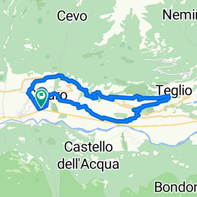
- 11.7 km
- Distance
- 1,175 m
- Ascent
- 83 m
- Descent
- ---
- Avg. speed
- ---
- Max. altitude
Continue with Bikemap
Use, edit, or download this cycling route
You would like to ride D aponte in valtellina alle baite Pratacci e Michelini or customize it for your own trip? Here is what you can do with this Bikemap route:
Free features
- Save this route as favorite or in collections
- Copy & plan your own version of this route
- Sync your route with Garmin or Wahoo
Premium features
Free trial for 3 days, or one-time payment. More about Bikemap Premium.
- Navigate this route on iOS & Android
- Export a GPX / KML file of this route
- Create your custom printout (try it for free)
- Download this route for offline navigation
Discover more Premium features.
Get Bikemap PremiumFrom our community
Other popular routes starting in Chiuro
 Terrazzamenti Albi tappa 4
- Distance
- 18.3 km
- Ascent
- 620 m
- Descent
- 758 m
- Location
- Chiuro, Lombardy, Italy
 Armisola MTB
- Distance
- 48 km
- Ascent
- 1,593 m
- Descent
- 1,750 m
- Location
- Chiuro, Lombardy, Italy
 Percorso per Piazza Stazione 18, Tirano
- Distance
- 18.3 km
- Ascent
- 686 m
- Descent
- 824 m
- Location
- Chiuro, Lombardy, Italy
 KOLA 2021 4. Ponte del Baghetto - Eupilio
- Distance
- 112.4 km
- Ascent
- 315 m
- Descent
- 420 m
- Location
- Chiuro, Lombardy, Italy
 D aponte in valtellina alle baite Pratacci e Michelini
- Distance
- 11.7 km
- Ascent
- 1,175 m
- Descent
- 83 m
- Location
- Chiuro, Lombardy, Italy
 Chiuro Teglio Chiuro
- Distance
- 18.8 km
- Ascent
- 546 m
- Descent
- 551 m
- Location
- Chiuro, Lombardy, Italy
 GIRO22 Ww3Exp - Day 2 - Stage 16 (Short Option)
- Distance
- 73.9 km
- Ascent
- 2,357 m
- Descent
- 2,149 m
- Location
- Chiuro, Lombardy, Italy
 GIRO22 Ww3Exp - Day 2 - Stage 16 (Long Option)
- Distance
- 109 km
- Ascent
- 3,736 m
- Descent
- 2,928 m
- Location
- Chiuro, Lombardy, Italy
Open it in the app