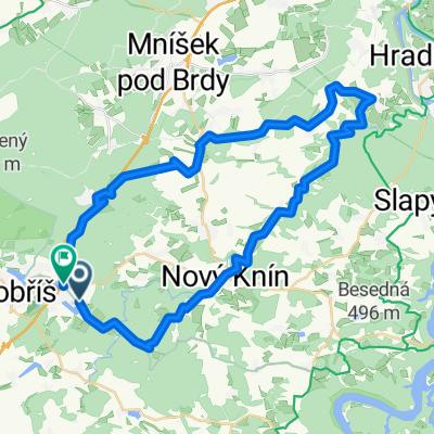
Dobříš - Stožec - Hostomice
- 11.7 km
- 343 m
- 187 m
- Stará Huť, Central Bohemia, Czechia
A cycling route starting in Stará Huť, Central Bohemia, Czechia.
Overview
Slapské Valley and surroundings
created this 16 years ago
Route quality
Road
25.8 km
(36 %)
Quiet road
7.9 km
(11 %)
Undefined
37.9 km
(53 %)
Paved
18.6 km
(26 %)
Asphalt
18.6 km
(26 %)
Undefined
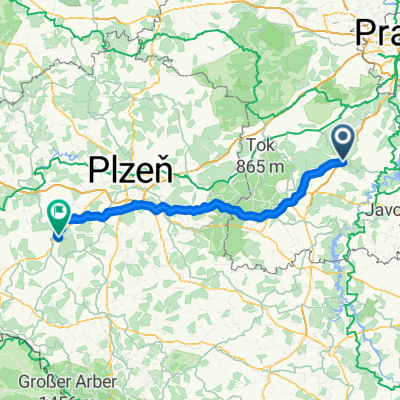
53 km
(74 %)
Route highlights

Chateau dobříš.Jen s kolem vás tam nepustí :-(


Bacha na dopraváky - jsou všude :-)


Ovčí farma class one.
Continue with Bikemap
You would like to ride Nechalov or customize it for your own trip? Here is what you can do with this Bikemap route:
Free trial for 3 days, or one-time payment. More about Bikemap Premium.
Discover more Premium features.
Get Bikemap PremiumFrom our community
Open it in the app