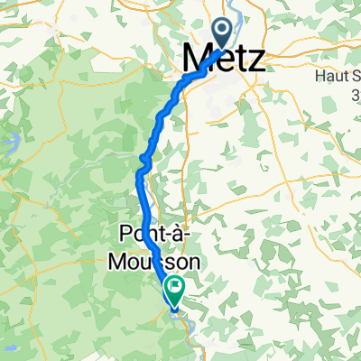
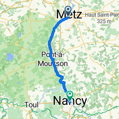
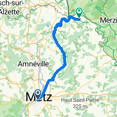
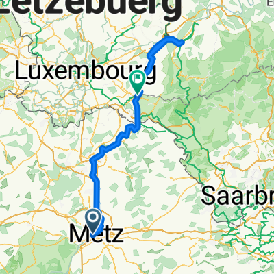
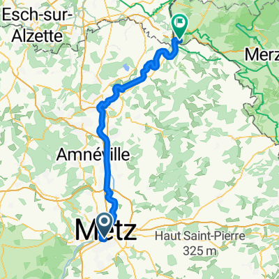
Metz - Nancy (66,6 km)
- 72.3 km
- 157 m
- 131 m
- Metz, Grand Est, France
A cycling route starting in Metz, Grand Est, France.
Overview
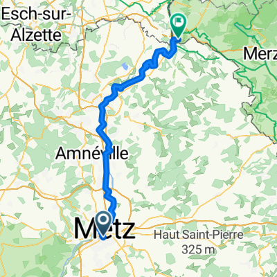
Day 7: Montigny-lès-Metz, Jouy-aux-Arches, Corny-sur-Moselle, Novéant-sur-Moselle, Pagny-sur-Moselle, Vandières, Norroy-lès-Pont-à-Mousson, Pont-à-Mousson, Dieuloard, Rosières-en-Haye, Toul, Dommartin-lès-Toul, Chaudeney-sur-Moselle, Autreville, Martigny-lès-Gerbonvaux, Saint-Elophe, Neufchâteau.
Day 8: Noncourt, Bazoilles-sur-Meuse, Harréville-les-Chanteurs, Goncourt, Saint-Thiébault, Bourg-Sainte-Marie, Huilliécourt, Maisoncelles, Clefmont, Daillecourt, Noyers, Val-de-Meuse, Frécourt, Bannes, Pont de Marne, Langres, Saints-Geosmes, Bourg, Longeau-Percey, Saint-Michel, Prauthoy, Vaux-sous-Aubigny, Orville, Til-Châtel, Norges-la-Ville, DIJON.
Day 9: Chenôve, Couchey, Fixin, Brochon, Gevrey-Chambertin, Morey-Saint-Denis, Vougeot, Nuits-Saint-Georges, Comblanchien, Beaune, Puligny-Montrachet, Corpeau, Chagny, Fragnes, Crissey, CHALON-SUR-SAÔNE.
Day 10: Lux, Saint-Loup-de-Varennes, Varennes-le-Grand, Beaumont-sur-Grosne, Sennecey-le-Grand, Tournus, Mâcon, Cormoranche-sur-Saône, Saint-Didier-sur-Chalaronne, Mogneneins, Genouilleux, Guéreins, Francheleins, Villeneuve, Savigneux.
created this 11 years ago
Route quality
Quiet road
47.3 km
(11 %)
Road
25.8 km
(6 %)
Paved
296.8 km
(69 %)
Unpaved
4.3 km
(1 %)
Asphalt
296.8 km
(69 %)
Gravel
4.3 km
(1 %)
Undefined
129 km
(30 %)
Continue with Bikemap
You would like to ride Metz - Savigneux or customize it for your own trip? Here is what you can do with this Bikemap route:
Free trial for 3 days, or one-time payment. More about Bikemap Premium.
Discover more Premium features.
Get Bikemap PremiumFrom our community
Open it in the app