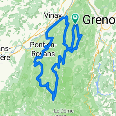
tours du vercors cyclo
A cycling route starting in Autrans, Auvergne-Rh么ne-Alpes, France.
Overview
About this route
Draft itinerary for Vercors tours
- -:--
- Duration
- 263 km
- Distance
- 4,147 m
- Ascent
- 4,154 m
- Descent
- ---
- Avg. speed
- ---
- Max. altitude
Route quality
Waytypes & surfaces along the route
Waytypes
Road
21 km
(8 %)
Quiet road
7.9 km
(3 %)
Surfaces
Paved
178.8 km
(68 %)
Unpaved
2.6 km
(1 %)
Asphalt
178.8 km
(68 %)
Unpaved (undefined)
2.6 km
(1 %)
Undefined
81.5 km
(31 %)
Continue with Bikemap
Use, edit, or download this cycling route
You would like to ride tours du vercors cyclo or customize it for your own trip? Here is what you can do with this Bikemap route:
Free features
- Save this route as favorite or in collections
- Copy & plan your own version of this route
- Split it into stages to create a multi-day tour
- Sync your route with Garmin or Wahoo
Premium features
Free trial for 3 days, or one-time payment. More about Bikemap Premium.
- Navigate this route on iOS & Android
- Export a GPX / KML file of this route
- Create your custom printout (try it for free)
- Download this route for offline navigation
Discover more Premium features.
Get Bikemap PremiumFrom our community
Other popular routes starting in Autrans
- A01 Autrans Nord
- Distance
- 18.4 km
- Ascent
- 394 m
- Descent
- 392 m
- Location
- Autrans, Auvergne-Rh么ne-Alpes, France
- De D106C 脿 La ville
- Distance
- 9.5 km
- Ascent
- 148 m
- Descent
- 228 m
- Location
- Autrans, Auvergne-Rh么ne-Alpes, France
- 22-05
- Distance
- 70.5 km
- Ascent
- 1,812 m
- Descent
- 1,987 m
- Location
- Autrans, Auvergne-Rh么ne-Alpes, France
- H么tel de la Buffe, tour des plateaux Nord.
- Distance
- 46.8 km
- Ascent
- 678 m
- Descent
- 679 m
- Location
- Autrans, Auvergne-Rh么ne-Alpes, France
- H么tel de la Buffe, tour des plateaux Nord.
- Distance
- 46.7 km
- Ascent
- 676 m
- Descent
- 677 m
- Location
- Autrans, Auvergne-Rh么ne-Alpes, France
- H么tel de la Buffe Route foresti猫re de Davi猫re
- Distance
- 21.4 km
- Ascent
- 355 m
- Descent
- 355 m
- Location
- Autrans, Auvergne-Rh么ne-Alpes, France
- Route des Ecouges
- Distance
- 17.8 km
- Ascent
- 1,131 m
- Descent
- 546 m
- Location
- Autrans, Auvergne-Rh么ne-Alpes, France
- Tour Vercors Nord d茅part dAutrans
- Distance
- 135.6 km
- Ascent
- 2,669 m
- Descent
- 2,670 m
- Location
- Autrans, Auvergne-Rh么ne-Alpes, France
Open it in the app