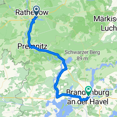
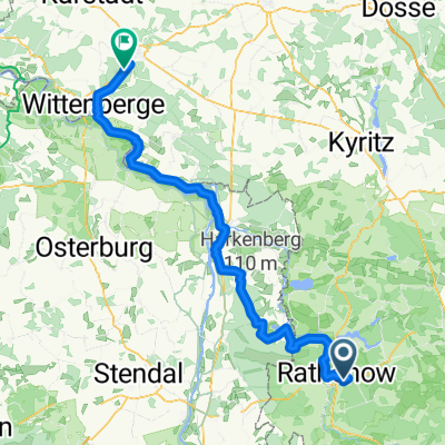
perm Kotzen
A cycling route starting in Rathenow, Brandenburg, Germany.
Overview
About this route
permanente RTF Veranstaltung<br /> Veranstater Radtea Rathenow
- -:--
- Duration
- 65.6 km
- Distance
- 166 m
- Ascent
- 168 m
- Descent
- ---
- Avg. speed
- ---
- Max. altitude
Route quality
Waytypes & surfaces along the route
Waytypes
Road
25.9 km
(40 %)
Quiet road
23 km
(35 %)
Surfaces
Paved
59.7 km
(91 %)
Unpaved
0.1 km
(<1 %)
Asphalt
52.2 km
(80 %)
Concrete
4.2 km
(6 %)
Continue with Bikemap
Use, edit, or download this cycling route
You would like to ride perm Kotzen or customize it for your own trip? Here is what you can do with this Bikemap route:
Free features
- Save this route as favorite or in collections
- Copy & plan your own version of this route
- Sync your route with Garmin or Wahoo
Premium features
Free trial for 3 days, or one-time payment. More about Bikemap Premium.
- Navigate this route on iOS & Android
- Export a GPX / KML file of this route
- Create your custom printout (try it for free)
- Download this route for offline navigation
Discover more Premium features.
Get Bikemap PremiumFrom our community
Other popular routes starting in Rathenow
- Rathenow-Semlin-Hohennauen-Semlin-RN
- Distance
- 33.5 km
- Ascent
- 27 m
- Descent
- 24 m
- Location
- Rathenow, Brandenburg, Germany
- perm Kotzen
- Distance
- 65.6 km
- Ascent
- 166 m
- Descent
- 168 m
- Location
- Rathenow, Brandenburg, Germany
- RTF Quer durch`s Havelland
- Distance
- 146.3 km
- Ascent
- 520 m
- Descent
- 517 m
- Location
- Rathenow, Brandenburg, Germany
- Dörfer, Felder, Wälder und die Havel
- Distance
- 31 km
- Ascent
- 78 m
- Descent
- 80 m
- Location
- Rathenow, Brandenburg, Germany
- RTF Zwi. Havel und Elbe 110
- Distance
- 109.3 km
- Ascent
- 233 m
- Descent
- 239 m
- Location
- Rathenow, Brandenburg, Germany
- Tour Brandenburg 1
- Distance
- 61.6 km
- Ascent
- 53 m
- Descent
- 54 m
- Location
- Rathenow, Brandenburg, Germany
- Profi-Tour des Rad-Team-Rathenow
- Distance
- 63.3 km
- Ascent
- 168 m
- Descent
- 166 m
- Location
- Rathenow, Brandenburg, Germany
- Rathenow, südliche Havel (groß)
- Distance
- 56.9 km
- Ascent
- 135 m
- Descent
- 136 m
- Location
- Rathenow, Brandenburg, Germany
Open it in the app