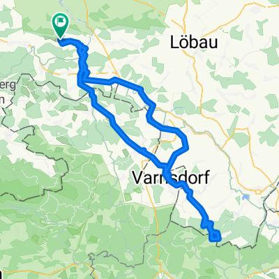
3-LĂ€ndertour Wilthen-Jonsdorf-Hradek nad Nisou-Bogatynia-Zittau_Wilthen
A cycling route starting in Wilthen, Saxony, Germany.
Overview
About this route
SchöneTagestour.
Nach meinem Tacho 128,66km. - -:--
- Duration
- 126 km
- Distance
- 851 m
- Ascent
- 851 m
- Descent
- ---
- Avg. speed
- ---
- Avg. speed
Route quality
Waytypes & surfaces along the route
Waytypes
Quiet road
33.8 km
(27 %)
Road
32.4 km
(26 %)
Surfaces
Paved
89.7 km
(71 %)
Unpaved
9.7 km
(8 %)
Asphalt
83.3 km
(66 %)
Ground
5.4 km
(4 %)
Route highlights
Points of interest along the route
Point of interest after 39 km
TRIXI-Park Hallenbad mit Wellnnessbereich Waldstrandbad mit 10m Turm, Gondelteich
Point of interest after 40.3 km
GaststÀtte
Point of interest after 40.4 km
Windloch!!! Von hier bis Ortseingang Jonsdorf meist extremer Kantenwind !
Point of interest after 53.6 km
Abzweig auf RW 25M Wunderschöner RW u. tolle Landschaft Tacho bei mir 55,5 (Bikemap 54,3)
Point of interest after 69.2 km
Kristinasee - Schöner Badesee
Point of interest after 70.4 km
DreilÀnderpunkt CZ-D-PL
Point of interest after 94.5 km
Faktorenhof - Super GaststÀtte Radhaus nebenan.
Point of interest after 97.4 km
(Roter) NETTO-Markt (zum GetrÀnke nachfassen)
Point of interest after 100.9 km
Lidl Markt
Continue with Bikemap
Use, edit, or download this cycling route
You would like to ride 3-LĂ€ndertour Wilthen-Jonsdorf-Hradek nad Nisou-Bogatynia-Zittau_Wilthen or customize it for your own trip? Here is what you can do with this Bikemap route:
Free features
- Save this route as favorite or in collections
- Copy & plan your own version of this route
- Sync your route with Garmin or Wahoo
Premium features
Free trial for 3 days, or one-time payment. More about Bikemap Premium.
- Navigate this route on iOS & Android
- Export a GPX / KML file of this route
- Create your custom printout (try it for free)
- Download this route for offline navigation
Discover more Premium features.
Get Bikemap PremiumFrom our community
Other popular routes starting in Wilthen
- StraĂe der Einheit 10A, Wilthen nach Hermann-Matern-StraĂe 10, Wilthen
- Distance
- 62.4 km
- Ascent
- 501 m
- Descent
- 498 m
- Location
- Wilthen, Saxony, Germany
- Schluckenauer Zipfeltour 2
- Distance
- 69 km
- Ascent
- 492 m
- Descent
- 492 m
- Location
- Wilthen, Saxony, Germany
- Wilthen-BuschmĂŒhe Ohorn-Wilthen
- Distance
- 65.9 km
- Ascent
- 393 m
- Descent
- 394 m
- Location
- Wilthen, Saxony, Germany
- Wilthen-Neustadt-Rugiswalde-Lipova-Wilthen
- Distance
- 59.7 km
- Ascent
- 446 m
- Descent
- 446 m
- Location
- Wilthen, Saxony, Germany
- 3-LĂ€ndertour Wilthen-Jonsdorf-Hradek nad Nisou-Bogatynia-Zittau_Wilthen
- Distance
- 126 km
- Ascent
- 851 m
- Descent
- 851 m
- Location
- Wilthen, Saxony, Germany
- Schluckenauer Zipfeltour 5
- Distance
- 66.7 km
- Ascent
- 548 m
- Descent
- 548 m
- Location
- Wilthen, Saxony, Germany
- Wilthen-Oybin Hain Area24-Wilthen
- Distance
- 105.5 km
- Ascent
- 638 m
- Descent
- 638 m
- Location
- Wilthen, Saxony, Germany
- Oppach Bad extended version
- Distance
- 59.6 km
- Ascent
- 320 m
- Descent
- 321 m
- Location
- Wilthen, Saxony, Germany
Open it in the app