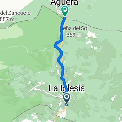
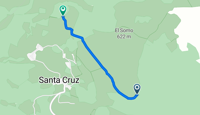
La Toba Otea Ofiziala
A cycling route starting in Sopuerta, Basque Country, Spain.
Overview
About this route
gaur egun Oteak dauz eta bidea oztopatzen dituzte,
- -:--
- Duration
- 1.5 km
- Distance
- 62 m
- Ascent
- 126 m
- Descent
- ---
- Avg. speed
- ---
- Max. altitude
Route quality
Waytypes & surfaces along the route
Waytypes
Track
1.5 km
(100 %)
Surfaces
Unpaved
0.1 km
(4 %)
Gravel
0.1 km
(4 %)
Undefined
1.5 km
(96 %)
Continue with Bikemap
Use, edit, or download this cycling route
You would like to ride La Toba Otea Ofiziala or customize it for your own trip? Here is what you can do with this Bikemap route:
Free features
- Save this route as favorite or in collections
- Copy & plan your own version of this route
- Sync your route with Garmin or Wahoo
Premium features
Free trial for 3 days, or one-time payment. More about Bikemap Premium.
- Navigate this route on iOS & Android
- Export a GPX / KML file of this route
- Create your custom printout (try it for free)
- Download this route for offline navigation
Discover more Premium features.
Get Bikemap PremiumFrom our community
Other popular routes starting in Sopuerta
- egizu karrantzatik bira handia
- Distance
- 38.3 km
- Ascent
- 937 m
- Descent
- 937 m
- Location
- Sopuerta, Basque Country, Spain
- egizu turtzios Balmaseda
- Distance
- 17.7 km
- Ascent
- 279 m
- Descent
- 271 m
- Location
- Sopuerta, Basque Country, Spain
- 1 Viernes 14 con Myri
- Distance
- 63.7 km
- Ascent
- 873 m
- Descent
- 873 m
- Location
- Sopuerta, Basque Country, Spain
- I2l2ldeak Iparmendebala Turtzios Karrantza goitik
- Distance
- 20.2 km
- Ascent
- 750 m
- Descent
- 757 m
- Location
- Sopuerta, Basque Country, Spain
- Zorribike 1. El Ventorro - Traslaviña
- Distance
- 26.2 km
- Ascent
- 454 m
- Descent
- 457 m
- Location
- Sopuerta, Basque Country, Spain
- La Toba Otea Ofiziala
- Distance
- 1.5 km
- Ascent
- 62 m
- Descent
- 126 m
- Location
- Sopuerta, Basque Country, Spain
- I2l2deak Armañon Magaletatik
- Distance
- 20.8 km
- Ascent
- 660 m
- Descent
- 662 m
- Location
- Sopuerta, Basque Country, Spain
- Armañon Jorrios eta bira
- Distance
- 25.4 km
- Ascent
- 949 m
- Descent
- 949 m
- Location
- Sopuerta, Basque Country, Spain
Open it in the app