- 7.6 km
- 127 m
- 175 m
- Logroño, La Rioja, Spain
Entreviñas2014_Logroño_LaVilla
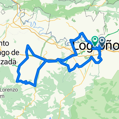
A cycling route starting in Logroño, La Rioja, Spain.
Overview
About this route
Saturday stage. We leave through the Ebro park and follow the path parallel to the Iregua river towards Alberite. Here we take the road that climbs to the bodegas neighborhood. We follow the direction towards Ribafrecha, via LR-344. We cross LR-250 and continue on the path that goes straight ahead towards the east. Upon reaching a farm, we pass it on the right and take the straightest line. We continue towards a red building and there we take the LR-259 road towards Murillo de río Leza. We follow the signs toward Galilea via LR-259. After passing Galilea we turn right towards Santa Lucía. We continue to an intersection and turn left towards La Villa de Ocón. We continue on the road, leaving the detour towards the mill behind and when we arrive at an intersection with cyclist route signs we turn left, ignoring the section with better asphalt that leads us to the village by a 20% slope. At the next intersection we turn right towards La Villa and reach our destination after a couple of km.
- -:--
- Duration
- 39.9 km
- Distance
- 709 m
- Ascent
- 216 m
- Descent
- ---
- Avg. speed
- ---
- Max. altitude
created this 11 years ago
Route quality
Waytypes & surfaces along the route
Waytypes
Track
7.6 km
(19 %)
Road
7.2 km
(18 %)
Surfaces
Paved
9.6 km
(24 %)
Unpaved
7.6 km
(19 %)
Loose gravel
7.2 km
(18 %)
Paved (undefined)
5.6 km
(14 %)
Continue with Bikemap
Use, edit, or download this cycling route
You would like to ride Entreviñas2014_Logroño_LaVilla or customize it for your own trip? Here is what you can do with this Bikemap route:
Free features
- Save this route as favorite or in collections
- Copy & plan your own version of this route
- Sync your route with Garmin or Wahoo
Premium features
Free trial for 3 days, or one-time payment. More about Bikemap Premium.
- Navigate this route on iOS & Android
- Export a GPX / KML file of this route
- Create your custom printout (try it for free)
- Download this route for offline navigation
Discover more Premium features.
Get Bikemap PremiumFrom our community
Other popular routes starting in Logroño
- INICIANDO...De Sequoias a LARDERO
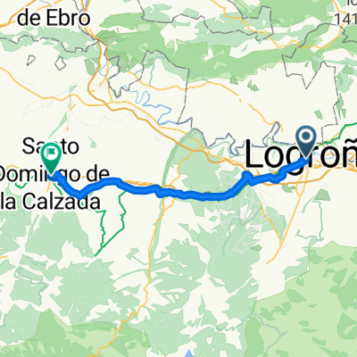
- Plaza del Alférez Provisional, Logroño to Calle Hilario Pérez, Santo Domingo de la Calzada
- 53.4 km
- 807 m
- 567 m
- Logroño, La Rioja, Spain
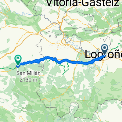
- Camino dzień 3 Calle Marqués de San Nicolás do Calle Campo Iglesia
- 98.4 km
- 1,625 m
- 1,065 m
- Logroño, La Rioja, Spain
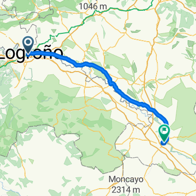
- Logroño - Tudela
- 100.8 km
- 243 m
- 359 m
- Logroño, La Rioja, Spain
- Entreviñas2014_Logroño_LaVilla
- 39.9 km
- 709 m
- 216 m
- Logroño, La Rioja, Spain
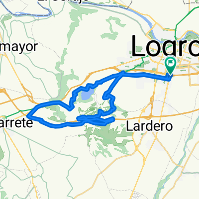
- grajera-navarrete-grajera
- 26.3 km
- 245 m
- 249 m
- Logroño, La Rioja, Spain
- VUELTA A LA RIOJA - ETAPA 1
- 47.5 km
- 656 m
- 410 m
- Logroño, La Rioja, Spain
- Vuelta a La Rioja 2015
- 169.4 km
- 979 m
- 964 m
- Logroño, La Rioja, Spain
Open it in the app


