
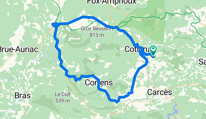
Tour par les falaise de Château-vert
A cycling route starting in Cotignac, Provence-Alpes-Côte d'Azur Region, France.
Overview
About this route
7.08.14
(cloned from route 2762681)(cloned from route 2808156)
- -:--
- Duration
- 49.1 km
- Distance
- 366 m
- Ascent
- 369 m
- Descent
- ---
- Avg. speed
- ---
- Max. altitude
Route quality
Waytypes & surfaces along the route
Waytypes
Busy road
33.7 km
(69 %)
Road
11.4 km
(23 %)
Surfaces
Paved
11.5 km
(23 %)
Unpaved
0 km
(<1 %)
Asphalt
11.5 km
(23 %)
Unpaved (undefined)
0 km
(<1 %)
Undefined
37.6 km
(77 %)
Continue with Bikemap
Use, edit, or download this cycling route
You would like to ride Tour par les falaise de Château-vert or customize it for your own trip? Here is what you can do with this Bikemap route:
Free features
- Save this route as favorite or in collections
- Copy & plan your own version of this route
- Sync your route with Garmin or Wahoo
Premium features
Free trial for 3 days, or one-time payment. More about Bikemap Premium.
- Navigate this route on iOS & Android
- Export a GPX / KML file of this route
- Create your custom printout (try it for free)
- Download this route for offline navigation
Discover more Premium features.
Get Bikemap PremiumFrom our community
Other popular routes starting in Cotignac
 Nestuby aups 19.5 km
- Distance
- 19.5 km
- Ascent
- 457 m
- Descent
- 141 m
- Location
- Cotignac, Provence-Alpes-Côte d'Azur Region, France
 cotignac
- Distance
- 84.6 km
- Ascent
- 1,019 m
- Descent
- 1,021 m
- Location
- Cotignac, Provence-Alpes-Côte d'Azur Region, France
 Tour par les falaise de Château-vert
- Distance
- 49.1 km
- Ascent
- 366 m
- Descent
- 369 m
- Location
- Cotignac, Provence-Alpes-Côte d'Azur Region, France
 Petit tour du matin en vacs
- Distance
- 34.5 km
- Ascent
- 435 m
- Descent
- 436 m
- Location
- Cotignac, Provence-Alpes-Côte d'Azur Region, France
 Cotignac 76
- Distance
- 76.3 km
- Ascent
- 1,164 m
- Descent
- 1,163 m
- Location
- Cotignac, Provence-Alpes-Côte d'Azur Region, France
 J6B RC2 MIPIM 2018
- Distance
- 60.4 km
- Ascent
- 659 m
- Descent
- 771 m
- Location
- Cotignac, Provence-Alpes-Côte d'Azur Region, France
 Bessillon round
- Distance
- 50.1 km
- Ascent
- 405 m
- Descent
- 405 m
- Location
- Cotignac, Provence-Alpes-Côte d'Azur Region, France
 Tour par les falaise de Château-vert
- Distance
- 49.1 km
- Ascent
- 366 m
- Descent
- 369 m
- Location
- Cotignac, Provence-Alpes-Côte d'Azur Region, France
Open it in the app