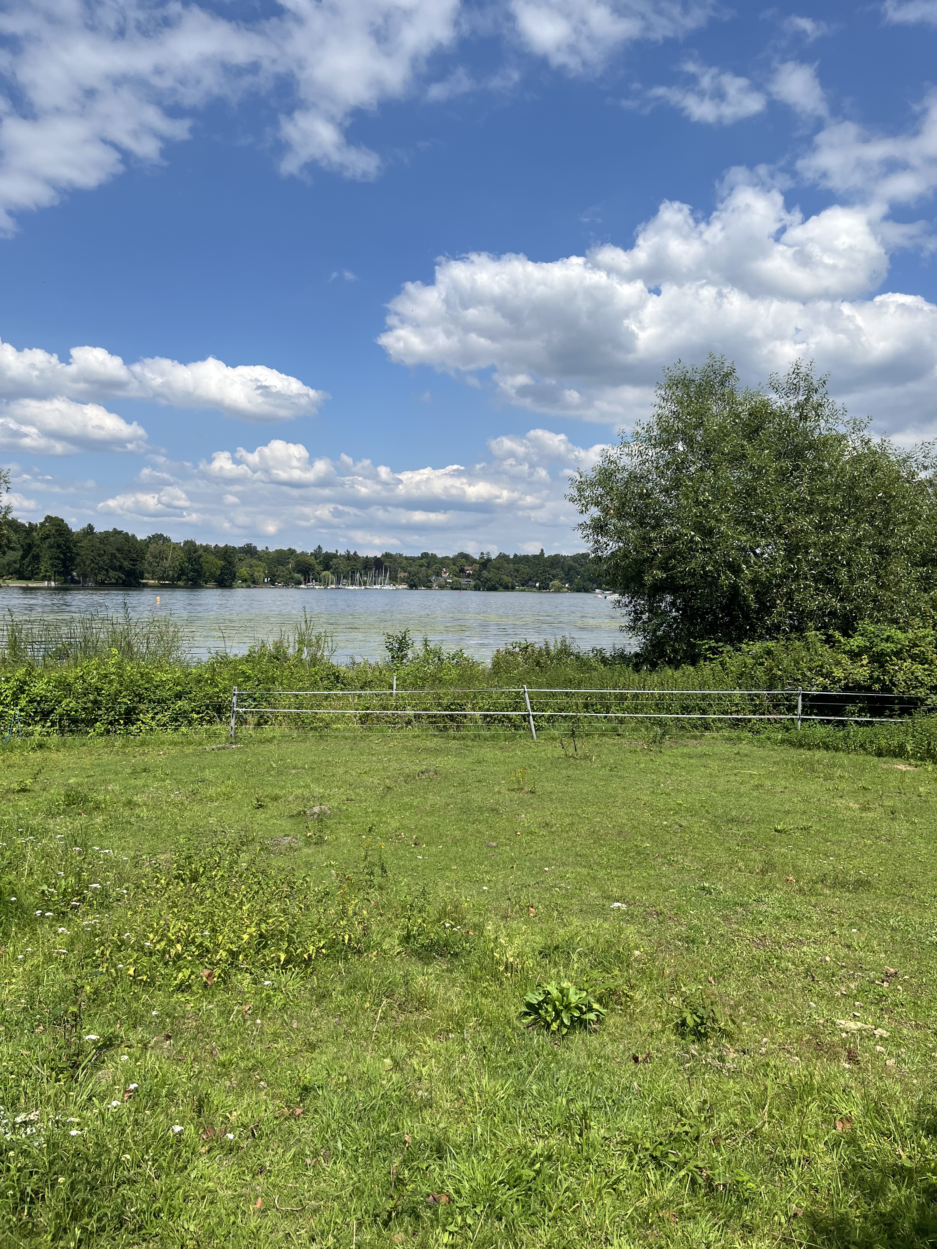
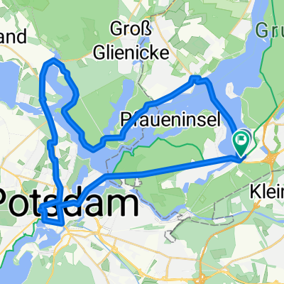
Berlin Wannsee- Brandenburg
- 49.3 km
- 119 m
- 131 m
- Wannsee, State of Berlin, Germany
A cycling route starting in Wannsee, State of Berlin, Germany.
Overview
50 km partly on traffic-calmed route.
Two steeper climbs:1. Climb to Grunewaldturm2. Climb Schäferberg (TV tower)
Finish: Biergarten Loretta at S-Bahn station Wannsee
created this 17 years ago
Route quality
Quiet road
12.2 km
(25 %)
Road
11.2 km
(23 %)
Paved
43.3 km
(89 %)
Unpaved
1 km
(2 %)
Asphalt
42.4 km
(87 %)
Concrete
1 km
(2 %)
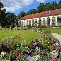
Route highlights

Start S-Bahn Wannsee

Grunewaldturm Nach der Steigung kann hier wieder aufgeschlossen werden

Ziel Biergarten Loretta
Continue with Bikemap
You would like to ride 50 km Wannsee Runde or customize it for your own trip? Here is what you can do with this Bikemap route:
Free trial for 3 days, or one-time payment. More about Bikemap Premium.
Discover more Premium features.
Get Bikemap PremiumFrom our community
Open it in the app