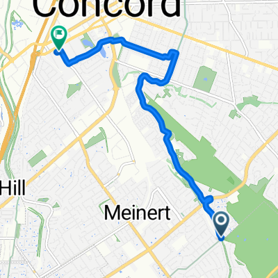
Walnut Creek to Orinda (BART)
A cycling route starting in Waldon, California, United States.
Overview
About this route
From Walnut Creek to Orinda BART station
- -:--
- Duration
- 21.4 km
- Distance
- 216 m
- Ascent
- 110 m
- Descent
- ---
- Avg. speed
- ---
- Max. altitude
Continue with Bikemap
Use, edit, or download this cycling route
You would like to ride Walnut Creek to Orinda (BART) or customize it for your own trip? Here is what you can do with this Bikemap route:
Free features
- Save this route as favorite or in collections
- Copy & plan your own version of this route
- Sync your route with Garmin or Wahoo
Premium features
Free trial for 3 days, or one-time payment. More about Bikemap Premium.
- Navigate this route on iOS & Android
- Export a GPX / KML file of this route
- Create your custom printout (try it for free)
- Download this route for offline navigation
Discover more Premium features.
Get Bikemap PremiumFrom our community
Other popular routes starting in Waldon
- Iron Horse Trail (L)
- Distance
- 30.7 km
- Ascent
- 124 m
- Descent
- 46 m
- Location
- Waldon, California, United States
- BIG SAN RAMON LOOP
- Distance
- 74.2 km
- Ascent
- 407 m
- Descent
- 409 m
- Location
- Waldon, California, United States
- Crockett the long way
- Distance
- 52 km
- Ascent
- 735 m
- Descent
- 735 m
- Location
- Waldon, California, United States
- mt diablo
- Distance
- 19.8 km
- Ascent
- 1,115 m
- Descent
- 19 m
- Location
- Waldon, California, United States
- Vasco road loop
- Distance
- 111.3 km
- Ascent
- 720 m
- Descent
- 718 m
- Location
- Waldon, California, United States
- mount diablo SRV
- Distance
- 45.6 km
- Ascent
- 689 m
- Descent
- 689 m
- Location
- Waldon, California, United States
- Walnut Creek to Orinda (BART)
- Distance
- 21.4 km
- Ascent
- 216 m
- Descent
- 110 m
- Location
- Waldon, California, United States
- canal-trail-flat-1-hour
- Distance
- 32.5 km
- Ascent
- 72 m
- Descent
- 75 m
- Location
- Waldon, California, United States
Open it in the app