Slacks Creek, Tamborine lap up Hanri Robert Dr, Coolangatta.
A cycling route starting in Slacks Creek, Queensland, Australia.
Overview
About this route
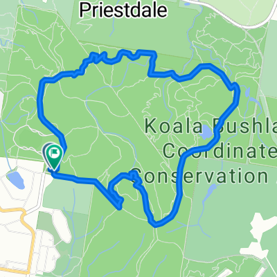
bicycle ride route from Slacks Creek to Coolangatta
via Mt. tamborine. - -:--
- Duration
- 140.7 km
- Distance
- 1,327 m
- Ascent
- 1,346 m
- Descent
- ---
- Avg. speed
- ---
- Avg. speed
Route quality
Waytypes & surfaces along the route
Waytypes
Busy road
91.3 km
(65 %)
Cycleway
14 km
(10 %)
Surfaces
Paved
132.5 km
(94 %)
Unpaved
0.4 km
(<1 %)
Asphalt
102.9 km
(73 %)
Paved (undefined)
24.6 km
(17 %)
Continue with Bikemap
Use, edit, or download this cycling route
You would like to ride Slacks Creek, Tamborine lap up Hanri Robert Dr, Coolangatta. or customize it for your own trip? Here is what you can do with this Bikemap route:
Free features
- Save this route as favorite or in collections
- Copy & plan your own version of this route
- Sync your route with Garmin or Wahoo
Premium features
Free trial for 3 days, or one-time payment. More about Bikemap Premium.
- Navigate this route on iOS & Android
- Export a GPX / KML file of this route
- Create your custom printout (try it for free)
- Download this route for offline navigation
Discover more Premium features.
Get Bikemap PremiumFrom our community
Other popular routes starting in Slacks Creek
- Quarry Road, Daisy Hill to Quarry Road, Daisy Hill
- Distance
- 12.2 km
- Ascent
- 273 m
- Descent
- 271 m
- Location
- Slacks Creek, Queensland, Australia
- Home to Berrinba Wetalnds and Retrun
- Distance
- 21.8 km
- Ascent
- 128 m
- Descent
- 128 m
- Location
- Slacks Creek, Queensland, Australia
- 10–22-24 Mungaree Drive, Shailer Park to Qantas Avenue, Archerfield
- Distance
- 19.3 km
- Ascent
- 112 m
- Descent
- 120 m
- Location
- Slacks Creek, Queensland, Australia
- Lunchtime ride
- Distance
- 10.9 km
- Ascent
- 117 m
- Descent
- 123 m
- Location
- Slacks Creek, Queensland, Australia
- Alt Lunch ride
- Distance
- 20.5 km
- Ascent
- 63 m
- Descent
- 62 m
- Location
- Slacks Creek, Queensland, Australia
- Cornubia to Tamborine
- Distance
- 50.3 km
- Ascent
- 647 m
- Descent
- 174 m
- Location
- Slacks Creek, Queensland, Australia
- Slacks Creek, Tamborine lap up Hanri Robert Dr, Coolangatta.
- Distance
- 140.7 km
- Ascent
- 1,327 m
- Descent
- 1,346 m
- Location
- Slacks Creek, Queensland, Australia
- Shailer Park Browns Plains Rochedale loop
- Distance
- 48.8 km
- Ascent
- 217 m
- Descent
- 212 m
- Location
- Slacks Creek, Queensland, Australia
Open it in the app