Schloss Wolfersdorf - Meusebach
- 64 km
- 582 m
- 583 m
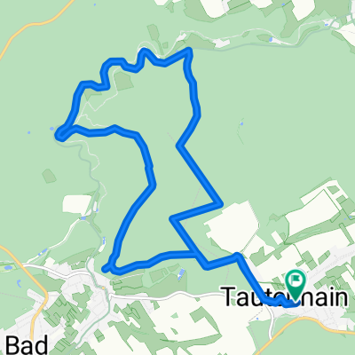
- Tautenhain, Thuringia, Germany
A cycling route starting in Tautenhain, Thuringia, Germany.
Overview
Circular route Tautenhain, Hainspitz, Tautenburg, Dornburg Castles, Nerkewitzer Grund, Saale valley, Bürgel, Bad Klosterlausnitz, Tautenhain
created this 11 years ago
Route quality
Track
25.8 km
36 %
Road
10.7 km
15 %
Paved
42.3 km
(59 %)
Unpaved
23.6 km
(33 %)
Asphalt
42.3 km
59 %
Gravel
15 km
21 %
Continue with Bikemap
You would like to ride Tautenburg / Dornburger Schlösser or customize it for your own trip? Here is what you can do with this Bikemap route:
Free trial for 3 days, or one-time payment. More about Bikemap Premium.
Discover more Premium features.
Get Bikemap PremiumFrom our community
Open it in the app