

Pupplinger Au
A cycling route starting in Bogenhausen, Bavaria, Germany.
Overview
About this route
From Prinzregentenplatz along the Isar to Schäftlarn Monastery and then onward to Pupplinger Au to the Aujäger guesthouse. Return route on the right side of the Isar through Grünwald and past the 60er Stadium.
- -:--
- Duration
- 63.3 km
- Distance
- 451 m
- Ascent
- 439 m
- Descent
- ---
- Avg. speed
- 655 m
- Max. altitude
Route quality
Waytypes & surfaces along the route
Waytypes
Track
19 km
(30 %)
Quiet road
17.1 km
(27 %)
Surfaces
Paved
38.6 km
(61 %)
Unpaved
20.3 km
(32 %)
Asphalt
38 km
(60 %)
Gravel
10.1 km
(16 %)
Continue with Bikemap
Use, edit, or download this cycling route
You would like to ride Pupplinger Au or customize it for your own trip? Here is what you can do with this Bikemap route:
Free features
- Save this route as favorite or in collections
- Copy & plan your own version of this route
- Sync your route with Garmin or Wahoo
Premium features
Free trial for 3 days, or one-time payment. More about Bikemap Premium.
- Navigate this route on iOS & Android
- Export a GPX / KML file of this route
- Create your custom printout (try it for free)
- Download this route for offline navigation
Discover more Premium features.
Get Bikemap PremiumFrom our community
Other popular routes starting in Bogenhausen
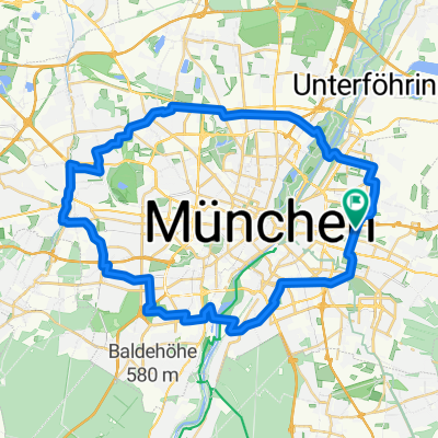 Äußerer Radring rund um München - aus SZ 28.8.25
- Distance
- 48.1 km
- Ascent
- 186 m
- Descent
- 184 m
- Location
- Bogenhausen, Bavaria, Germany
 Feierabendrunde MUC North 80 Km
- Distance
- 80.2 km
- Ascent
- 172 m
- Descent
- 183 m
- Location
- Bogenhausen, Bavaria, Germany
 München - Abendrunde 75
- Distance
- 76 km
- Ascent
- 359 m
- Descent
- 370 m
- Location
- Bogenhausen, Bavaria, Germany
 Rundstrecke durch Grünwald
- Distance
- 34.6 km
- Ascent
- 187 m
- Descent
- 179 m
- Location
- Bogenhausen, Bavaria, Germany
 petuel-egarten-müllberg-garching-schloss-hasenbergl
- Distance
- 39.7 km
- Ascent
- 166 m
- Descent
- 166 m
- Location
- Bogenhausen, Bavaria, Germany
 München - Berchtesgaden
- Distance
- 238.6 km
- Ascent
- 3,180 m
- Descent
- 3,018 m
- Location
- Bogenhausen, Bavaria, Germany
 76 km München Ost
- Distance
- 76.6 km
- Ascent
- 100 m
- Descent
- 100 m
- Location
- Bogenhausen, Bavaria, Germany
 RR_Muc-Petershausen-Muc
- Distance
- 83.8 km
- Ascent
- 321 m
- Descent
- 340 m
- Location
- Bogenhausen, Bavaria, Germany
Open it in the app