

11.10.2014 Bojnič
A cycling route starting in Rudná, Central Bohemia, Czechia.
Overview
About this route
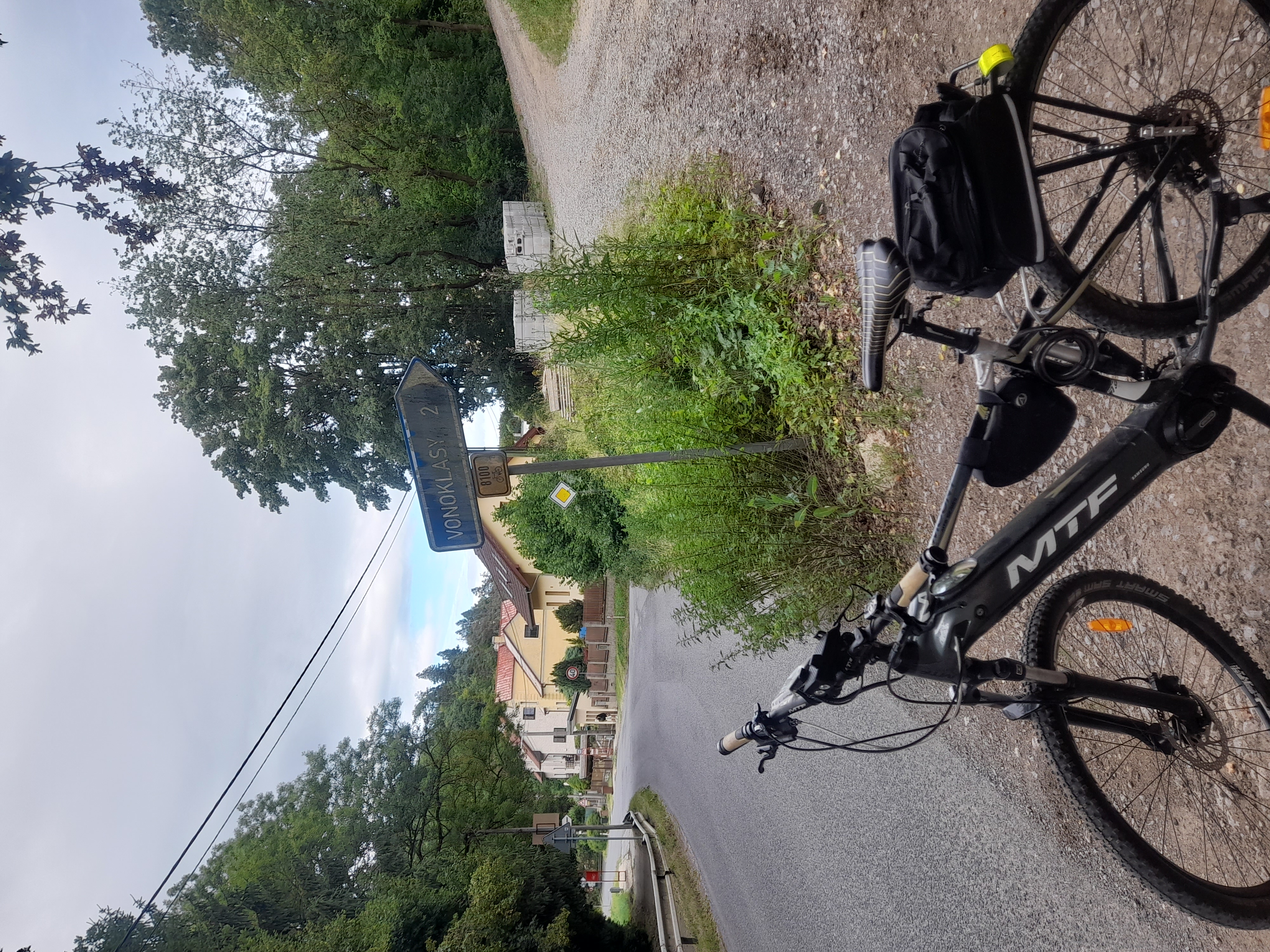
Švihounek s píchalem Ráďou :-)
- -:--
- Duration
- 105.1 km
- Distance
- 1,096 m
- Ascent
- 1,095 m
- Descent
- ---
- Avg. speed
- ---
- Max. altitude
Route quality
Waytypes & surfaces along the route
Waytypes
Busy road
62.4 km
(59 %)
Road
35.3 km
(34 %)
Surfaces
Paved
54.4 km
(52 %)
Unpaved
0.1 km
(<1 %)
Asphalt
53.9 km
(51 %)
Concrete
0.3 km
(<1 %)
Continue with Bikemap
Use, edit, or download this cycling route
You would like to ride 11.10.2014 Bojnič or customize it for your own trip? Here is what you can do with this Bikemap route:
Free features
- Save this route as favorite or in collections
- Copy & plan your own version of this route
- Split it into stages to create a multi-day tour
- Sync your route with Garmin or Wahoo
Premium features
Free trial for 3 days, or one-time payment. More about Bikemap Premium.
- Navigate this route on iOS & Android
- Export a GPX / KML file of this route
- Create your custom printout (try it for free)
- Download this route for offline navigation
Discover more Premium features.
Get Bikemap PremiumFrom our community
Other popular routes starting in Rudná
 20180505
- Distance
- 28.8 km
- Ascent
- 254 m
- Descent
- 256 m
- Location
- Rudná, Central Bohemia, Czechia
 Tachlovice - Radotin
- Distance
- 30.9 km
- Ascent
- 322 m
- Descent
- 322 m
- Location
- Rudná, Central Bohemia, Czechia
 Rudá-Křivoklát-Karlštejn-Rudná
- Distance
- 94.3 km
- Ascent
- 1,449 m
- Descent
- 1,462 m
- Location
- Rudná, Central Bohemia, Czechia
 Zk 1
Zk 1- Distance
- 33.6 km
- Ascent
- 312 m
- Descent
- 311 m
- Location
- Rudná, Central Bohemia, Czechia
 A123: Řeporyje – Luka
- Distance
- 2.1 km
- Ascent
- 46 m
- Descent
- 11 m
- Location
- Rudná, Central Bohemia, Czechia
 náměstí Junkových do Šolínova
- Distance
- 43.2 km
- Ascent
- 299 m
- Descent
- 491 m
- Location
- Rudná, Central Bohemia, Czechia
 Rudná-Karlík-Kuchař-Rudná
- Distance
- 49.9 km
- Ascent
- 903 m
- Descent
- 903 m
- Location
- Rudná, Central Bohemia, Czechia
 Rudná-Řevnice-Vlence-Svatý Jan-Loděnice-Rudná
- Distance
- 54 km
- Ascent
- 928 m
- Descent
- 938 m
- Location
- Rudná, Central Bohemia, Czechia
Open it in the app