Potsdamer Seen und Schlösser
- 84 km
- 346 m
- 336 m
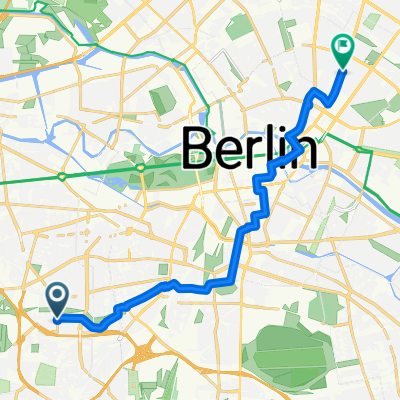
- Wilmersdorf, State of Berlin, Germany
A cycling route starting in Wilmersdorf, State of Berlin, Germany.
Overview
I have marked all the light points as waypoints. Have fun riding through them.
created this 11 years ago
Route highlights
Lichterpunkt
Lichterpunkt
Lichterpunkt
Lichterpunkt
Lichterpunkt
Lichterpunkt
Lichterpunkt
Lichterpunkt An der Schlossbrücke
Lichterpunkt
Lichterpunkt
Lichterpunkt
Lichterpunkt Haus der Kulturen
Lichterpunkt
Lichterpunkt Hauptbahnhof
Lichterpunkt Moltkebrücke
Lichterpunkt Alter Hörsaal Charite
Lichterpunkt Fridrichstadt Palast
Lichterpunkt Weidemannbrücke
Lichterpunkt Melia Hotel
Lichterpunkt Bode Museum
Lichterpunkt
Lichterpunkt
Lichterpunkt
Lichterpunkt
Lichterpunkt Rotes Rathaus
Lichterpunkt Nikoleifirtel
Lichterpunkt
Continue with Bikemap
You would like to ride Berlin Leuchtet 2014 or customize it for your own trip? Here is what you can do with this Bikemap route:
Free trial for 3 days, or one-time payment. More about Bikemap Premium.
Discover more Premium features.
Get Bikemap PremiumFrom our community
Open it in the app