

Sängerwiese/Eisenach über Knöpfelsteiche und Prinzenteich/Eisenach
A cycling route starting in Eisenach, Free State of Thuringia, Germany.
Overview
About this route
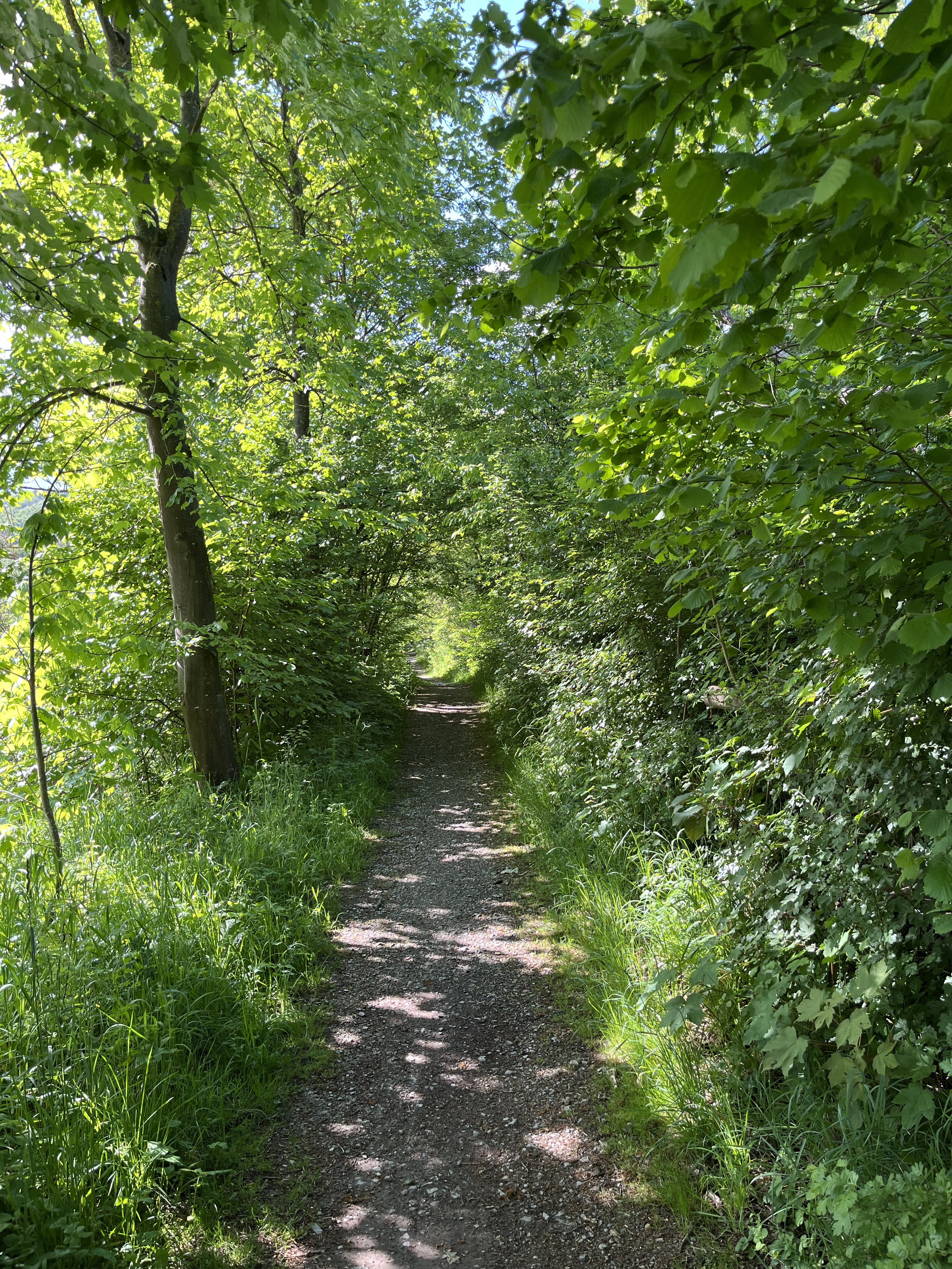
Ich starte von der Michelskuppe in Eisenach und fahre auf die Kasseler Str., von wo aus ich auf die Frankfurter Str. abbiege. Nach der Tunneldurchquerung erreiche ich nach ca. 200 m links die Abbiegung, die ebenfalls durch einen Eisenbahntunnel führt. Von hier fahre ich zur Sängerwiese und von dort weiter zu den Knöpfelsteichen. Hier kehre ich um und gelange auf die Straße zum Mariental, das ich am Prinzenteich vorbeifahrend, durchquere. In der Wartburgallee biege ich links an der Ampelkreuzung vor dem Abbe-Gymnasium ab und komme dann über den Frauenberg, die Goldschmiedenstraße, den Markt und den Jakobsplan auf die Tiefenbacher Allee, wo ich dem Lauf der Hörsel bis fast zur Michelskuppe folge.
- -:--
- Duration
- 13.5 km
- Distance
- 182 m
- Ascent
- 182 m
- Descent
- ---
- Avg. speed
- ---
- Avg. speed
Continue with Bikemap
Use, edit, or download this cycling route
You would like to ride Sängerwiese/Eisenach über Knöpfelsteiche und Prinzenteich/Eisenach or customize it for your own trip? Here is what you can do with this Bikemap route:
Free features
- Save this route as favorite or in collections
- Copy & plan your own version of this route
- Sync your route with Garmin or Wahoo
Premium features
Free trial for 3 days, or one-time payment. More about Bikemap Premium.
- Navigate this route on iOS & Android
- Export a GPX / KML file of this route
- Create your custom printout (try it for free)
- Download this route for offline navigation
Discover more Premium features.
Get Bikemap PremiumFrom our community
Other popular routes starting in Eisenach
 Rund um den Hainich_t
- Distance
- 116.4 km
- Ascent
- 1,237 m
- Descent
- 1,239 m
- Location
- Eisenach, Free State of Thuringia, Germany
 Karlstraße nach Gartenstraße
- Distance
- 27.6 km
- Ascent
- 227 m
- Descent
- 239 m
- Location
- Eisenach, Free State of Thuringia, Germany
 Westroute Thüringer Wald
- Distance
- 96 km
- Ascent
- 1,150 m
- Descent
- 1,150 m
- Location
- Eisenach, Free State of Thuringia, Germany
 Trailschaukel Eisenach
- Distance
- 35.8 km
- Ascent
- 923 m
- Descent
- 923 m
- Location
- Eisenach, Free State of Thuringia, Germany
 Zentraler Thüringer Wald
- Distance
- 99.9 km
- Ascent
- 1,260 m
- Descent
- 1,260 m
- Location
- Eisenach, Free State of Thuringia, Germany
 Goethestraße, Eisenach nach Planstraße, Amt Creuzburg
- Distance
- 26.1 km
- Ascent
- 394 m
- Descent
- 431 m
- Location
- Eisenach, Free State of Thuringia, Germany
 Wilhelm-Pieck-Straße 18, Eisenach nach Wilhelm-Pieck-Straße 16, Eisenach
- Distance
- 15.7 km
- Ascent
- 228 m
- Descent
- 222 m
- Location
- Eisenach, Free State of Thuringia, Germany
 kurze Tour
- Distance
- 17.3 km
- Ascent
- 213 m
- Descent
- 205 m
- Location
- Eisenach, Free State of Thuringia, Germany
Open it in the app